Hart Mountain National Antelope Refuge was created in 1936 to protect habitat and migration routes for pronghorn antelope and secondarily for protection of the 300 or so other animals to be found in the region, including sage grouse. Cattle grazing was removed from the refuge in the last decade or so with improvements seen in the rangeland used by wild animals. Efforts are given to protect pronghorn migration routes south to Sheldon National Wildlife Refuge.
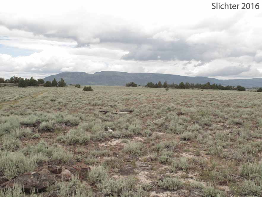
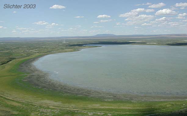
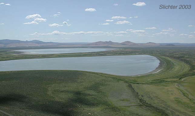
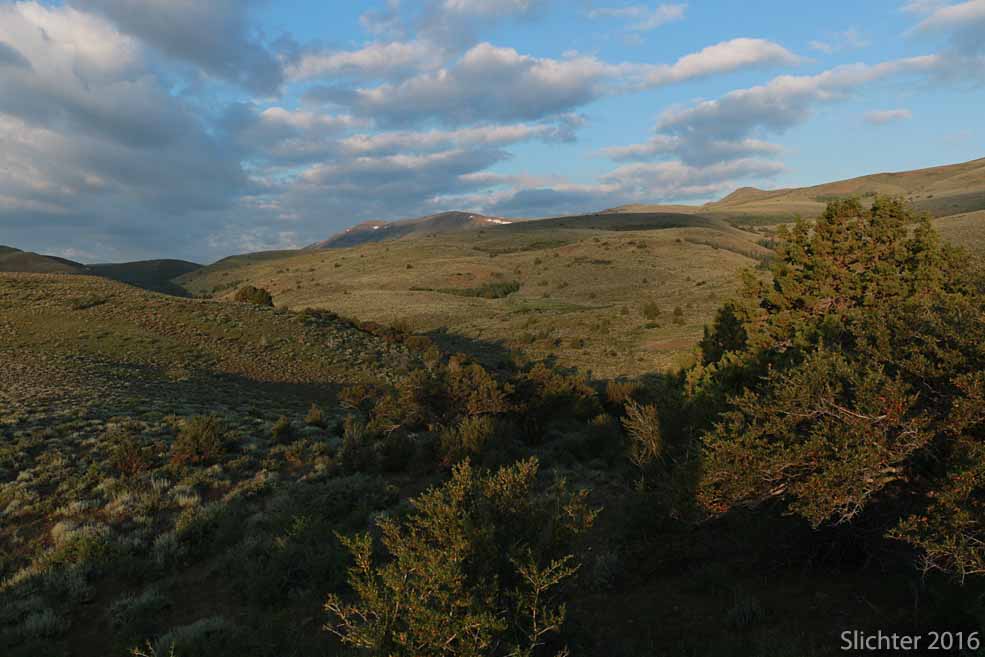
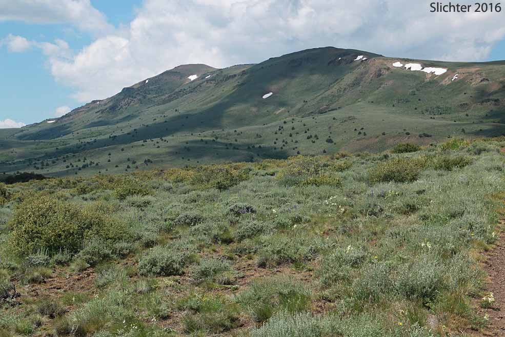
Habitats within the refuge range from desert playa lake beds to aspen groves to upland shrub-scrub and subalpine grass and scablands. Elevations range from near 4475' in the Warner Basin to 8017' (atop Warner Peak).
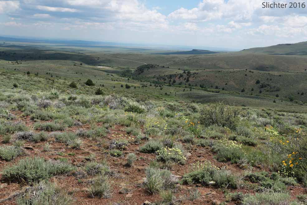
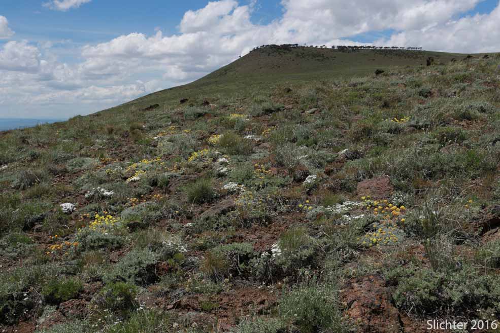
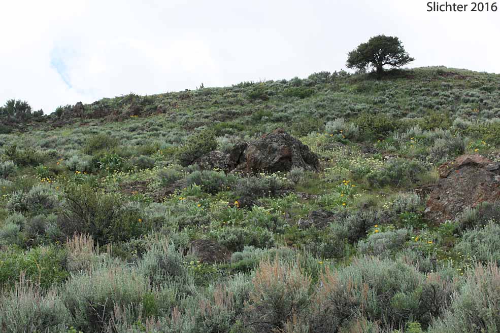
Much of the wildflower viewing at Hart Mountain consist of roadside botany during auto tours through the refuge, including the climb up east out of the Warner Basin on the Hart Mt. Road to the refuge headquarters as well as along the main road between Hot Springs Campground and Blue Sky to the south.
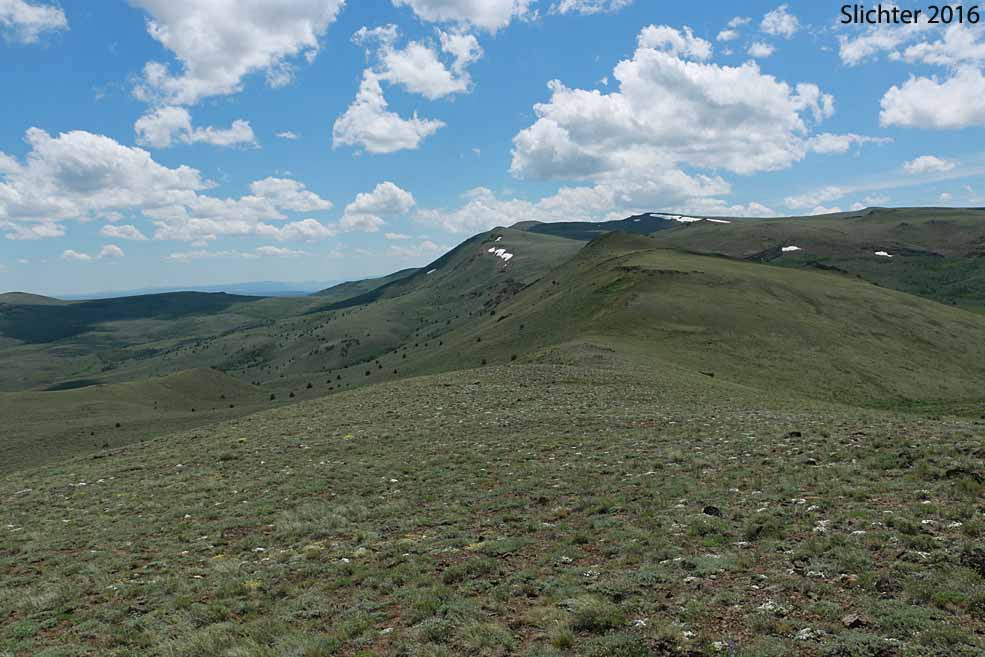
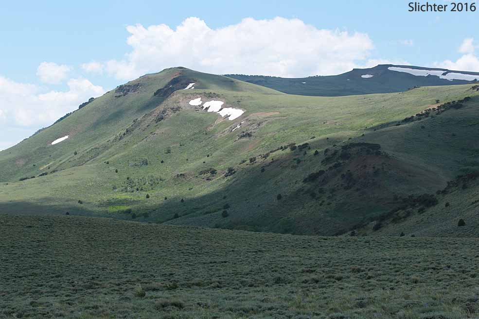
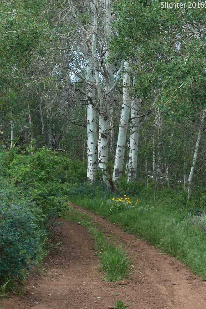
Most hiking routes are along secondary roads (mostly closed to private vehicles). I'd suggest the jeep trail running from Hot Springs Campground southwest up Rock Creek, which gives access to the crest of the Hart Mt. ridgeline at the head of the North Fork DeGarmo Canyon. Or one can continue hiking upstream along the jeep trail on the west bank of Rock Creek to a pass at the eastern base of Warner Peak and then downhill to the south along upper Guano Creek to Blue Sky (an ice age remnant ponderosa pine forest).
Blue Sky provides an alternative hike start (drive and park there). I'd recommend walking along the eastern base of the escarpment (hoping to find the old road) which eventually zigzags up the hillside, becoming a jeep track to hike north to the base of Warner Peak or eventually head west to the crest of the steep, west-facing escarpment with views west across Warner Basin to the crest of Abert Rim and the North Warner Mountains. You'll note the variety of habitats and plants and wildlife that can be found on them.
Wildflower season begins in late May-early June, dependent upon snow fall. The season continues until mid July, especially at higher elevations near north or east-facing slopes where snow may lay late into mid-summer. Late summer and early fall mean slopes of rabbitbrush and sagebrush in bloom.
Shrubs and Trees of this Region: Ponderosa pine (Pinus ponderosa), mountain mahogany (Cercocarpus ledifolius), western juniper (Juniperus occidentalis), quaking aspen (Populus tremuloides), wax currant (Ribes cereum), bush ocean spray (Holodiscus microphyllus var. glabrescens) antelope bitterbrush (Purshia tridentata), common chokecherry (Prunus virginiana var. melanocarpa), pearhip rose (Rosa woodsii), mountain snowberry (Symphoricarpos oreophilus), big sagebrush (Artemisia tridentata ssp. tridentata), gray rabbitbrush (Ericameria nauseosa var. speciosa) and little-leaf horsebrush (Tetradymia glabrata).
Perennial wildflowers of note include arrowleaf balsamroot (Balsamorhiza sagittata), elk thistle (Cirsium scariosum), gray hawksbeard (Crepis acuminata), shaggy fleabane (Erigeron pumilus), Scouler's hawkweed (Hieracium scouleri), woolly groundsel (Packera cana), tall butterweed (Senecio serra), narrow-leaved paintbrush (Castilleja linariifolia), showy penstemon (Penstemon speciosus), Rydberg's penstemon (Penstemon rydbergii var. rydbergii), Ballhead waterleaf (Hydrophyllum capitatum var. alpinum), purple waterleaf (Phacelia hastata var. alpina), puccoon (Lithospermum ruderale), blue stickseed (Hackelia micrantha), longleaf phlox (Phlox longifolia), moss phlox (Phlox muscoides), gray's lovage (Ligusticum grayi), western blue flax (Linum lewisii), Oregon checkermallow (Sidalcea oregana var. spicata), sickle milkvetch (Astragalus curvicarpus), threadstalk milkvetch (Astragalus filipes), kellogg's spurred lupine (Lupinus argenteus var. heteranthus), prairie smoke (Geum triflorum), upland larkspur (Delphinium nuttallianum), slim larkspur (Delphinium depauperatum), parsnipflower buckwheat (Eriogonum heracleoides), Goose Lake wild buckwheat (Eriogonum strictum var. anserinum), Modoc sulfur flower buckwheat (Eriogonum umbellatum var. modocense), tapertip onions (Allium accuminatum), sagebrush mariposa (Calochortus macrocarpus), california false hellebore (Veratrum californicum var. californicum) and western blue flag (Iris missouriensis).
Driving Directions (with mileage from several Pacific Northwest areas) - provided by the USFWS.
Note: Motorized and bicycle are allowed ONLY on designated Open Routes (see map). The main roads that are open year round are generally kept in good contition although they may be rocky-bumpy in places. Roads with season restrictions are often primitive roads that can quickly become impassable after rain events, or may have difficult water crossings, let alone axle-breaking bumps. Some are perhaps more suitable to mountain bike use in season, or can be used by hikers (which we have done). The area is lightly visited so once off the main roads, you may not see other visitors for several days or more. Drivers should carry an extra full-sized tire (at least) and be well-versed in changing a tire. Be sure to visit the area with a full gas tank. Hikers should carry extra water, food and first aid supplies.
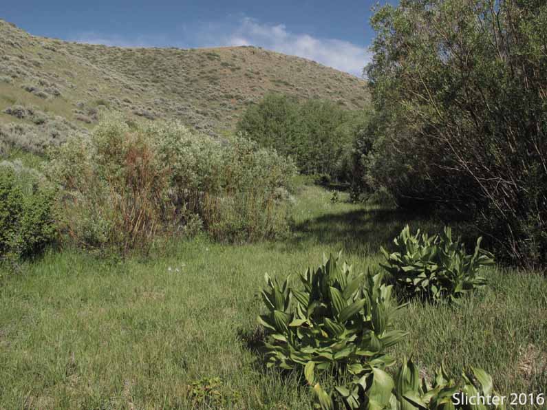
June 11, 2016: Bond Creek from Hot Springs Campground (Hart Mountain National Antelope Refuge)
June 9, 2016: Road from Hot Springs Campground to Barnhardi Basin & summit ridge north of DeGarmo Canyon (Hart Mountain National Antelope Refuge)
June 9-12, 2016: Hot Springs Campground (Hart Mountain National Antelope Refuge)
June 25, 2003: Blue Sky, Hart Mt. National Antelope Refuge
June 25, 2003: Butterfly Gully, Rd to Blue Sky, Hart Mt. National Antelope Refuge
June 25, 2003: Dry creek and roadside ditch on Road to Blue Sky, just south of the mouth of Deer Canyon, Hart Mt. National Antelope Refuge
June 24-25, 2003: Hot Springs Campground, Hart Mt. National Antelope Refuge
August 30, 1997: Hart Mt. National Antelope Refuge
June 28-29, 1997: Hart Mt. National Antelope Refuge
Online Resources:
Hart Mountain National Antelope Refuge - USFWS website
Friends of Hart Mountain National Antelope Refuge
Guano Creek/Sink Lakes by Lucile A. Housley (Kalmiopsis, Vol 11: 2004 - A publication of the Native Plant Society of Oregon) - Contact the BLM office in Lakeview, OR before seeking to visit this site to enquire about road conditions and what type of vehicle is required.
Less Traveled Northwest: Day Hikes for the Adventurous - Website that has good information about several hiking routes in the Warner Basin-Hart Mountain area.
Greater Hart-Sheldon Region - Oregon Natural Desert Association
 -
- 
 -
- 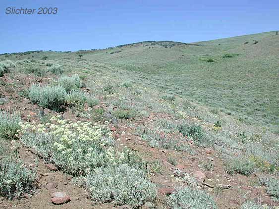
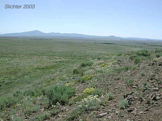
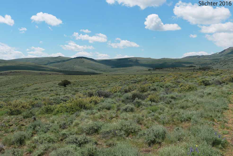
These two photos show wildflowers observed along the Refuge Road between Hot Springs Campground and Blue Sky, Hart Mt. National Antelope Refuge......July 2003. The photo at left shows Beatty Butte in the distance. The photo at right is a stop along the road that I call Butterfly Gulch due to the number of butterflies pollinating plants there, including nettleleaf horsemint (Agasache urticifolia).
 -
- 
 -
- 
 -
- 
 -
- 
 -
- 
 -
-