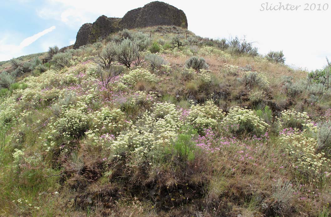
I commonly do very long day trips east from Gresham, OR to the John Day Fossil Beds National Monument and surrounding country, so these stops are some of the places I commonly make stops at enroute.
Drive east from Wasco, OR on Oregon Highway 206. Upon descending into the John Day canyon from the west, have a passenger scan the upper banks for wildflowers. One can typically see long-leaved phlox (Phlox longifolia), bicolored cluster lily (Triteleia grandiflora var. howellii) and sickle milkvetch (Astragalus curvicarpus var. subglaber) along this stretch of highway. There should be some pull outs where one can safely pull over to walk the roadside. At the west bank across from the Cottonwood landing there are some ashy deposits in the public right of way upon which one can find fine-leaf thelypody (Thelypodium milleflorum). Proceed uphill east of the John Day River on Highway 206. After about 10 miles you will finally crest the ridgetop and there will be a pullout on the north side of the highway with a monument that points out the Cascade peaks. Stop here and explore the roadside right of way for about 50-100 meters. Some of the plants mentioned above can be found here. In addition, you will find spurred lupine (Lupinus arbustus) as well as a what I would call a hybrid lupine (Lupinus leucophyllus x Lupinus sericeus).
Continue driving east on Highway 206. You will trend southeast uphill through a windmill farm, cresting a ridge with a radio tower on it several miles west of Condon. Just past this ridge crest, find a safe to pull over just east of Richmond Road (which heads south). Walk the public right of way along Highway 206 in this area to find several onions, desert parsleys (including cous, Lomatium cous), upland larkspur (Delphinium nuttallianum var. nuttallianum) and others.
Continue east a couple of miles to Condon which offers the Condon Hotel as a base for longer explorations as well as gas and food. One can continue about 4-5 miles east of Condon on Highway 206 berfore turning southeast onto Lonerock Road. Search for wildflowers that can be found on shallow soils in the public right of way here, including stony ground lupine (Lupinus polyphyllus var. saxosus) and golden daisy (Erigeron chrysopsidis var. chrysopsidis). I would probably drive no further south along this route than the ridgetop several miles northwest of Lonerock, OR (where you can first see the small town and its famous rock......because it's largely cultivated fields). If you back track a few miles, you could turn south on the gravelled Lost Valley Road and follow it until it reaches Kinzua Lane, then follow that west to Oregon 19 near Fossil, OR. I can't vouch for anything along that route since I'm usually there while snow would lie along the route, but it might be a worthwhile route to explore.
Driving south from Condon on Oregon Highway 19, you will first cross Thirtymile Creek and then head uphill several miles before coming across Dyer State Wayside on the east side of the highway. There are several pit toilets here as well as picnic tables. Mock orange (Philadelphus lewisii), fernleaf desert parsley (Lomatium dissectum var. multifidum), can be found here. It's usually a nice spot to scan the surrounding trees and canyon walls for birds. At the uphilll end of the wayside, I usually turn east onto Ramsey Canyon Road. There is often a colorful June display of wildflowers on the canyon walls, including elkhorns clarkia (Clarkia pulchella). The road passes through cultivated fields, but about a mile past the farmhouse it passes a bald which has some nice wildflowers on it including Donnell's lomatium (Lomatium donnellii), John Day Valley desert parsley (Lomatium minus), and daggerpods (Phoenicaulis cheiranthoides). Be careful here to stay on the public right of way and to not track weedy seeds into the rocky roadside! From here, continue driving uphill heading south and then turn west onto Carter Hill Road where you should soon see blepharipappus (Blepharipappus scaber) along the roadside. After a mile or two you should come to a rocky road cut on the north side of the road with Douglas' onion (Alllium douglasii) in bloom by late May into mid June. Continue driving west through grain fields until reaching Highway 19 at a cluster of old buildings at what used to be the community of Mayville. Turn left (south) and drive south on Highway 19 towards Fossil.
South of Fossil, the highway again climbs, generally heading in a southeasterly direction. Watch for flowers along the highway right of way. Those to carefully stop for include: dwarf purple monkeyflower (Mimulus nanus var. nanus), showy penstemon (Penstemon speciosus) and upland yellow violet (Viola praemorsa ssp. linguifolia).
June 2 & 5, 2011: Oregon Highway 206 (Wasco, OR to Condon, OR)
June 2 & 5, 2011: Oregon Highway 19 (Condon, OR to US Highway 26 at Picture Gorge)
June 30, 2010: Oregon Highway 19 (Condon, OR to US Highway 26 at Picture Gorge)
June 16, 2010: Oregon Highway 19 (Fossil, OR to US Highway 26 at Picture Gorge)
May 28, 2007: Oregon Highway 19 near MP 80 (near Service Creek, OR)
May 28, 2007: Locations around Condon, OR
April 8, 2007: South Twickenham Road (west of Twickenham, OR)
April 8, 2007: Oregon Highway 207 and Gerd's Creek Road (Between Service Creek, OR and Mitchell, OR)
April 8, 2007: Oregon Highway 19 near MP 80 (near Service Creek, OR)
April 8, 2007: Locations around Condon, OR
April 8, 2007: Oregon Highway 206 (west grade into the John Day Canyon)
May 2, 2004: Rowe Creek Road (Oregon Highway 19 to Twickenham)
May 1, 2004: Lonerock Road southeast of Condon, OR
May 1, 2004: Ridge on Oregon Highway 206 west of Condon, OR