Geology:
Geology of Central Oregon: The Crooked River Caldera - This is an informative 1:20:48 video presentation (Youtube) of some of the geologic features to be seen in western Crook County
Smith Rock Caldera: Nick on the Rocks - A shorter, 4:45 depiction (Youtube) of the Crooked River Caldera
Alder Springs Trail #855 (Crooked River National Grasslands)
Bandit Springs Sno-Park (Ponderosa Loop and McGinnis Creek Loop Trails, 801 & 802 respectively, Ochoco National Forest)
Baneberry Trail (Ochoco National Forest) - Accessed from the north side of Lookout Mt.
Barnhouse, Fry and Keeton Trails (Ochoco National Forest)
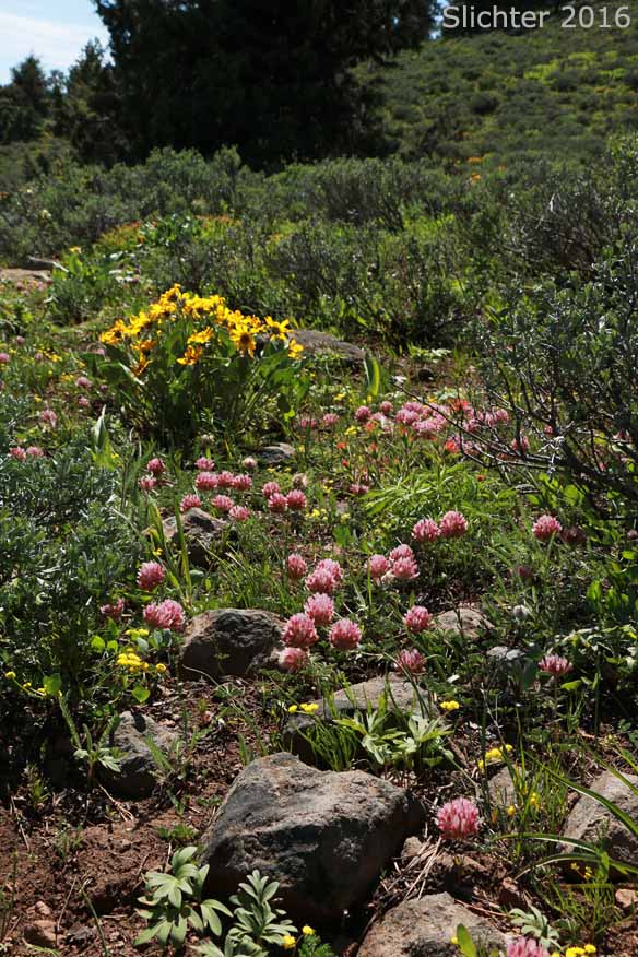
Big Springs Campground (Ochoco National Forest)
Big Summit Prairie (Ochoco National Forest & edges of private lands visible from the roads)
Black Canyon Wilderness (Ochoco National Forest, Crook, Grant and Wheeler Counties)
Boeing Field and Owl Creek Trail #820A into the Black Canyon Wilderness (Ochoco National Forest and Wheeler County)
Chimney Rock Trail (BLM)
Cougar Creek Trail #835 Ochoco National Forest - Hike 86 in "Day Hiking Bend and Central Oregon" by Brittany Manwill.
Gray Butte Trail #852, from the old McCoin homestead trailhead (Crooked River National Grasslands)
John Day Fossil Beds - Wheeler County
Juniper Hills Preserve (Nature Conservancy of Oregon)
Lookout Mountain, North Trails (Ochoco National Forest)
Line Butte Trail #807 & Line Butte Tie Trail #807A (Ochoco National Forest)
Lookout Mountain, South Trails (Ochoco National Forest)
Maury Mountains (Ochoco National Forest)
Mount Pisgah as accessed from the north via Pisgah Meadows and FS Roads 2630 and 2230
Mud Springs Horse Camp - Access to the South Prong Trail #821 into the Black Canyon Wilderness
North Fork Crooked River Wild and Scenic River
May 11, 2017: Lithosol soils east of FS Road 4040 at MP 5.8 downhill towards the North Fork Crooked River (Ochoco National Forest)
Ochoco Forest Campground (Ochoco National Forest)
Pine Mountain (Deschutes National Forest, Deschutes County)
Rimrock Springs Trail #850 (Crooked River National Grasslands)
Rock Creek via the Ochoco Mountain Trail #823 hiking north from the trailhead on Road 38. (Ochoco National Forest)
Round Mountain via the Round Mountain Trail #805 (Ochoco National Forest)
South Fork Crooked River (Jake's Place) - BLM (WSA's) & private lands. Possible trip involving ONDA leaders.
South Prong Trail #821 into the Black Canyon Wilderness (Ochoco National Forest and Crook, Grant and Wheeler Counties)
Spanish Peak including FS Road 3800-200 (Ochoco National Forest)
Steelhead Falls Trail (Steelhead Falls WSA near the Crooked River Ranch).
Steins Pillar Trail #837 (Ochoco National Forest)
Sugar Creek Campground (Ochoco National Forest - NE of Paulina, OR)
Twin Pillars Trail #832 from Bingham Springs (Mill Creek Wilderness & adjacent Ochoco National Forest) - Hike 85 in in "Day Hiking Bend and Central Oregon" by Brittany Manwill. The north trailhead provides shorter access to Twin Pillars. The south trailhead provides access upstream into the wilderness along East Fork Mill Creek before climbing up to Twin Pillars. 6 miles RT & 600' elevation gain from the north TH.
Ochoco National Forest & Crooked River National Grasslands