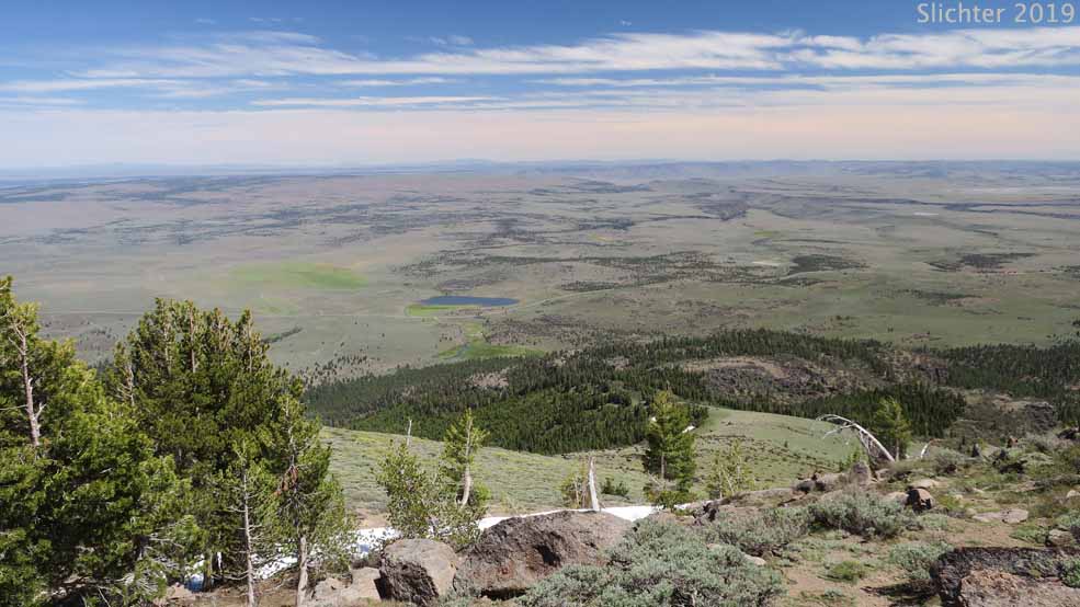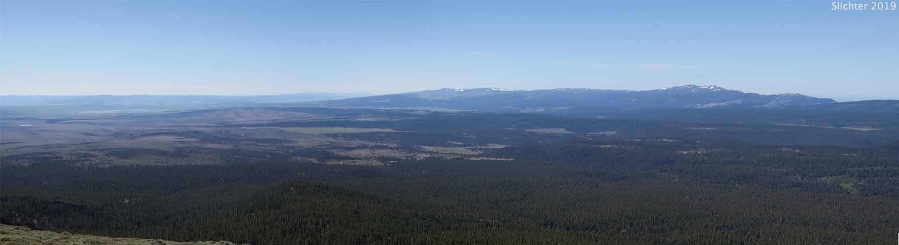
Although the geology of this area is evidently lightly studied, the series of peaks which include Drake, Light, Twelvemile, McDowell and Crook Peaks are geologically not related to the fault-block Abert Rim to the west and northwest and Warner Moutains to the southwest. Instead, this arc of peaks appear to be the remains of a volcano which had some glaciation which extended north from the central area. All the afforementioned peaks are above 7600' in elevation with Drake Peak the highest at 8407'.
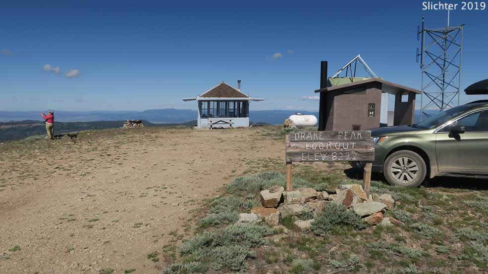
Drive north of Lakeview, OR about 5 miles on US Highway 395. Turn right (east) onto Oregon Highway 140 for about 8 miles to the only major 4-way junction east of the Warner Summit. Turn left onto paved Forest Rd 3615 and drive north uphill for about 6.8 miles, passing Bull Prairie and Mud Creek Forest Camp. Turn right uphill onto gravel Forest Road 3819 (signed for Drake Peak Lookout). FS Rd3819 climbs through recently thinned forest and eventually switchbacks up the south and west slopes of Light Peak. At the crest of the ridge, stay left to the parking area at Drake Lookout (actually situated at the lower west end of Light Peak). The lookout can be rented for overnight stays during the summer. There is a vault toilet available for public use at this location.
Check on road conditions early or late in season at the Lakeview Ranger District office in Lakeview, OR as several large snow patches can block the access road into late June/ early July.
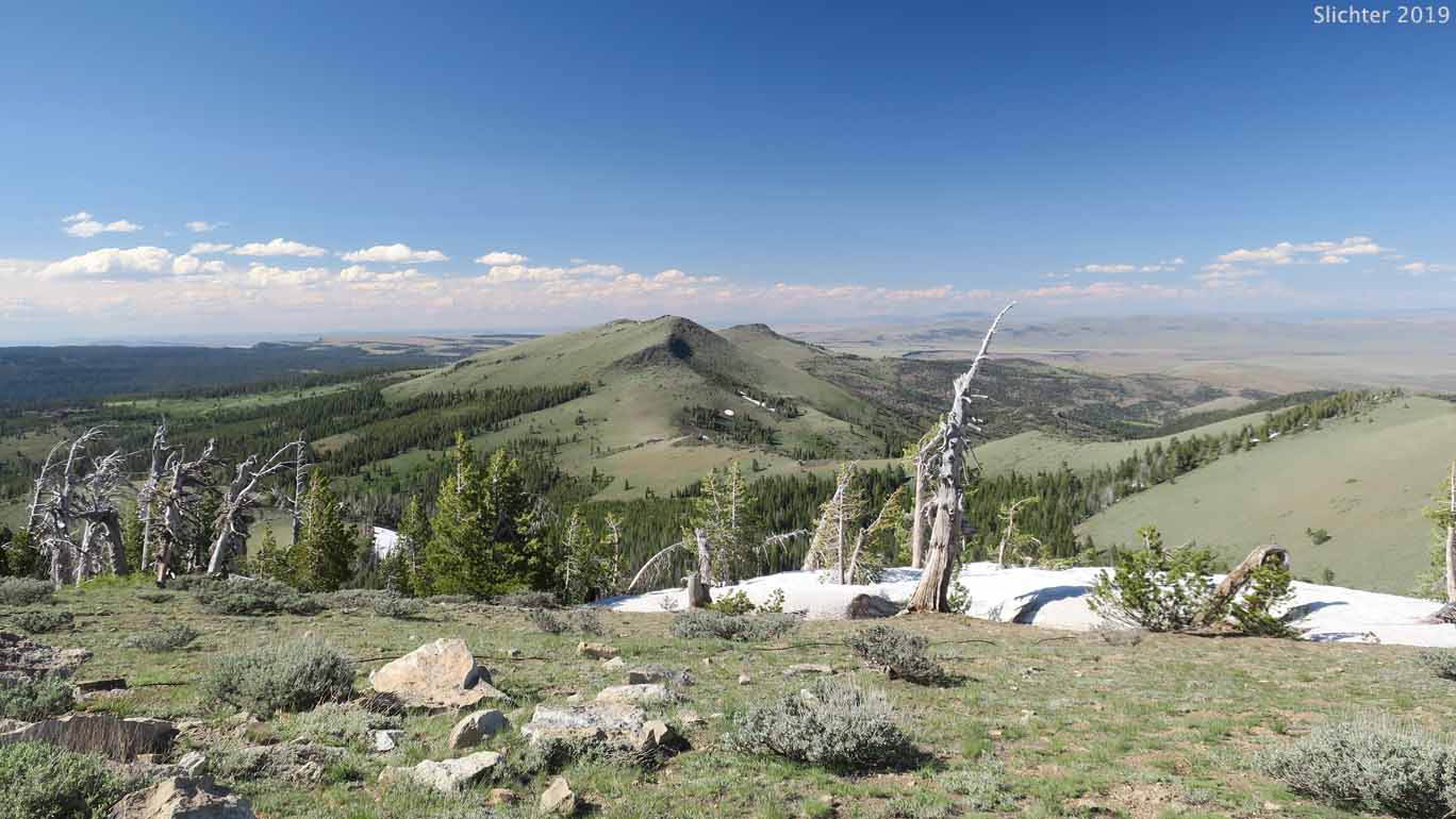
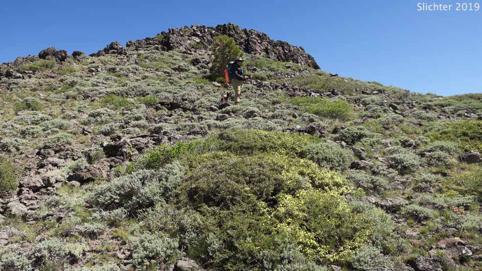
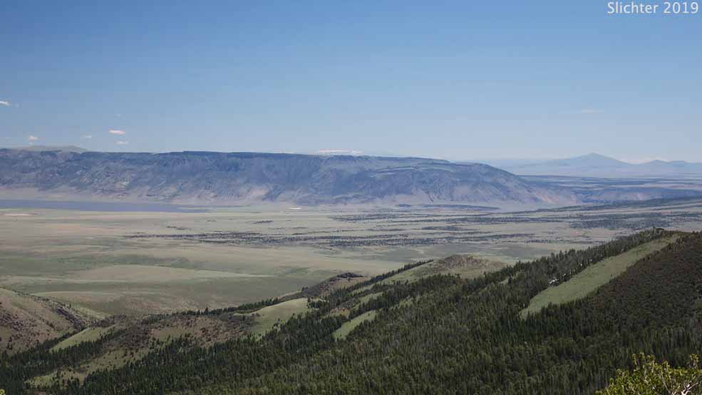
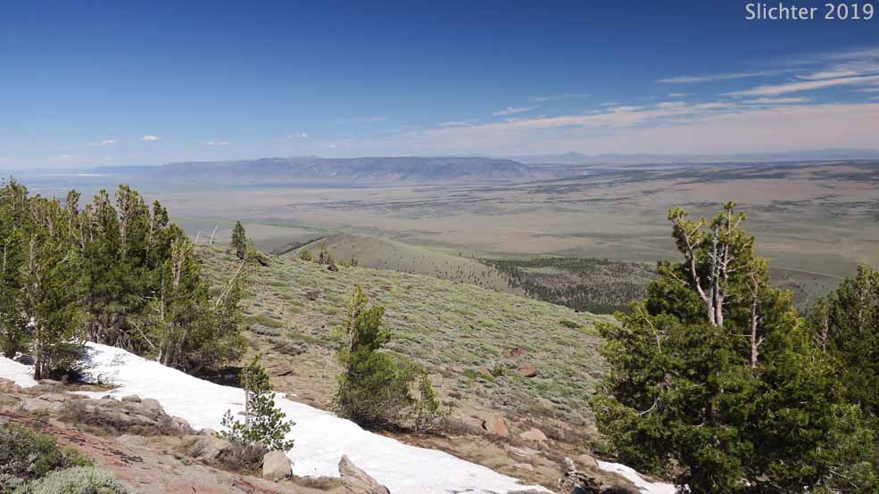
Hike east along a jeep road which dips down to a saddle then climbs the western slopes of Light Peak (8325'). A deep, broad snowfield occupies the slopes about a quarter mile east of the lookout well into early July. This may give some hikers difficulty in crossing. Dense sagebrush and very rocky soils make walking off the road difficult, so stay on the jeep track. Most plants you'll see are viewable along the road. The summit of Light Peak is an alpine gravel bald with numerous low plants. Tread carefully and if you eat lunch there, choose your location carefully so you don't crush sensitive plants (that will be slow to grow back due to the elevation). Light Peak has a near 360 degree view of the surrounding countryside. Neighboring Drake Peak looks closer than it is to the east. The jeep track descends to the southeast to a saddle between Light and Drake Peaks. This is a good wildflower destination to end your hike. The jeep track disappears to the east and the hike up to the summit of Drake Peak (8407') is very steep on unstable, rocky slopes where you have to zig and zag around low sagebrush. The view from its summit is restricted by numerous whitebark pines. In addition, very strong winds from the south or southwest often pick up after lunch, and it's not a fun hike back to the trailhead being blasted by cold, 40 mph winds! Also watch for afternoon thunderstorms that approach as much of the ridgeline is exposed to the elements.
Plant Lists:
Whitebark pine (Pinus albicaulis) can be found along the ridgecrest from Light Peak to Drake Peak. Ponderosa pine (Pinus ponderosa), California white pine (Abies concolor x Abies grandis) and western juniper (Juniperus occidentalis) dominate the lower forested slopes with low sagebrush (Artemisia arbuscula), mountain big sagebrush (Artemisia tridentata ssp. vaseyana), mountain mahogany (Cercocarpus ledifolius var. intermontanus), bittercherry (Prunus emarginata) and snowberry (Symphoricarpos sp.) dominating the open western and southern slopes. Common wildflowers of the sagebrush slopes include: mision bells (Fritillaria atropurpurea), Modoc sulfur flower buckwheat (Eriogonum umbellatum var. modocense), pussypaws (Cistanthe umbellatum), brittle sandwort (Sapulina nuttallii var. fragilis), Kellogg's spurred lupine (Lupinus argenteus var. heteranthus), western blue flax (Linum lewisii), Nevada desert parsley (Lomatium nevadense), wavy-leaf paintbrrush (Castilleja applegatei var. pinetorum), ash penstemon (Penstemon cinicola), Modoc hawksbeard (Crepis modocensis), stemless goldenweed (Stenotus acaulis). Some plants of the gravelly bald atop Light Peak include: mat buckwheat (Eriogonum cespitosum), bladder milkvetch (Astragalus whitneyi var. confusus), Truckee green rabbitbrush (Chrysothamnus humilis), rayless cutleaf daisy (Erigeron compositus) and woolly groundsel (Packera cana).
June 29, 2019: Drake Lookout to Light and Drake Peaks, North Warner Mts, Fremont-Winema National Forest
Drake Peak Lookout Recreation Rental - I understand that this can be quite a scenic place to stay, although if it's windy, it's a noisy place to stay. Thunderstorms can also be a bit intimidating, although there is a lightning rod nearby to keep the lookout from being hit. Rentals are open 6 months in advance, so you want to plan far in advance to rent this location which is often rented every night through the summer!
 -
- 
 -
- 
 -
-