Malheur National Forest
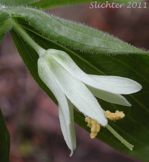
The East Fork Canyon Creek Trail #211 provides hikers with an opportunity for a shorter, easy one-half day hike, or a longer, multi-day hike. The trail itself is not heavily used and thus offers a chance for peaceful solitude. The creek also offers good fishing for native cuthroat trout. Floral highlights include: chocolate lily (Fritillaria atropurpurea), gooseberry-leaved alumroot (Heuchera grossulariifolia), heart-leaved arnica (Arnica cordifolia), soapberry (Shepherdia canadensis), sticky geranium (Geranium viscosissimum) and wavy-leaf paintbrush (Castilleja applegatei). The bulk of the hike is taken under forest canopy so it is a good one to do on a hot spring or summer day!
Trail Length: 9.9 miles, one way. One can hike out a much shorter distance to make it fit their abilities!
Elevation: 4500-7200'
Rating: Easy-Moderate
Season: June to November
Allowed Activities: Hiking and horse use. ATVs and mountain bikes prohibited.
Use: Moderate
Proceed south from John Day, OR through Canyon City on US 395 for 9.7miles to County Rd 65 (paved). Turn left here and proceed for about 2.9 miles to Forest Rd #6510 (gravel). Turn left onto this road and proceed uphill for 1.6 miles before turning right onto Forest Rd #812. Continue on this road for 2.8 miles to the trailhead. There is abundant parking at the trailhead.
The trail follows the course of East Fork Canyon Creek uphill through patches of cottonwod and creek dogwood as well as groves of old growth ponderosa pine. From the trailhead (4780'), the trail crosses a rockslide and then descends to the creek before turning uphill, mostly through forest. The riparian zone is covered with many different shrubs, wildflowers, grasses and sedges. The trail generally has a gentle, fairly constant grade upwards. At about 2.2 miles hikers will reach Yokum Corrals Camp at 4760'. Continuing another 0.3 miles one reaches the usually dry Tamarack Creek (a good destination for a shorter trip) and the intersection of the Tamarack Trail which ascends 1.7 miles to the Joaquin Miller Trail along the ridgetop. One could leave cars at both the trailheads for East Fork Canyon Creek and the Joaquin Miller Trail and do a loop.
Continuing on the East Fork Canyon Creek Trail, the hiker will reach 10' wide Brookling Creek (4840') in another 0.4 miles. This is a good spot for lunch or a snack before turning back. The distance to this point from the trailhead is 2.9 miles one way. The East Fork Canyon Creek Trail does continue through the forest for another 4.4 miles before ascending to Indian Creek Butte and the ridges on the back side of Canyon Mt.
Stock water is located 1/2 mile down the trail. Water is available throughout the hiking season in the creek but it should always be filtered or treated before human consumption. There are numerous locations along the trail for campsites.
May 25, 2002: Table Mt., Malheur N. F.
May 25, 2002: East Fork Canyon Creek Trail #211, Malheur N. F.
May 25, 2002: Dry Meadows surrounding FS Rd #6510 below its intersection with FS Rd #812.
Partial Flora of East Fork Canyon Creek Trail #211
Partial Flora of FS Road #6510 below FS Rd #812