Malheur National Forest
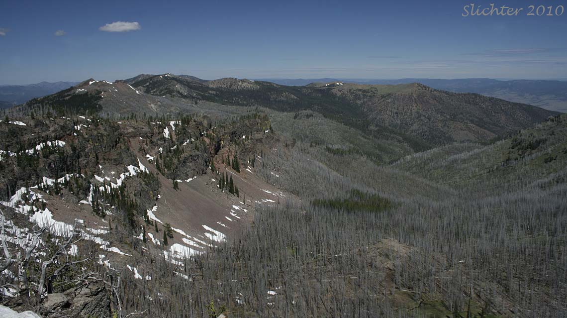
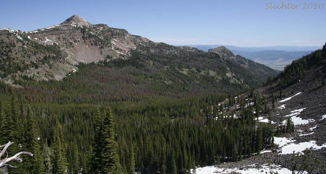
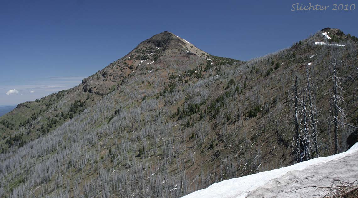
Strawberry Mt. is the 9038' peak which dominates the skyline in the 107 square mile Strawberry Mt. Wilderness to the south of Prairie City, OR. Five of the seven major biologic zones may found within this small mountain range. The western half of the range was seafloor about 200-250 million years ago. Now uplifted, reddish peridotite and green serpentinite outcrops may be found here with their unique flora. The eastern half of the range consists of ash and lava spewed from vents in the area about 15 million years ago. Ice Age glaciers carved many of the valleys on the north-facing slopes.
Good spots for viewing flowers within the wilderness include Canyon Mt. (8007'), East Fork Canyon Creek, Baldy Mt, Indian Creek, Wildcat Basin (7000'), Strawberry Mt, and the meadows above Strawberry Lake.
Access by vehicle is limited from late May for lower trailheads (and late June-to early July for the highest) to late fall due to snowfall. I'm guessing that wildflower displays for the ridgetops and shaded northern slopes normally begin in late June and these can extend into early September, at least after winters with high snowfall.
Onion Creek Trail # 368
Strawberry Campground Trailhead
Road's End Trailheads (southern approaches to Strawberry Mt. and High and Slide Lakes)
Lake Creek Trail #378
Big Creek Trail #377
Meadow Fork Trail #376
Table Mt Trail #217
East Fork Canyon Creek Trail #211
Joaquin Miller Trail #219
July 1, 2010: Trail 201A from the Roads End Trailhead to the junction with the Onion Creek Trail, then west on the Pine Creek Trail #201. - Strawberry Mt. Wilderness
July 5, 2002: Strawberry Mt. (via the southern access trail)
September 4, 1999: Strawberry Mt., Strawberry Wilderness, Malheur NF
Partial Flora of Strawberry Mt.
Partial Plant Lists for Hikes in the Southwest Corner of the Strawberry Wilderness:
May 25, 2002: Table Mt., Malheur N. F.
May 25, 2002: East Fork Canyon Creek Trail #211, Malheur N. F.
May 25, 2002: Dry Meadows surrounding FS Rd #6510 below its intersection with FS Rd #812.
Partial Flora of East Fork Canyon Creek Trail #211
Partial Flora of FS Road #6510 below FS Rd #812
 -
-