 -
-  -
- 
- -
 -
- 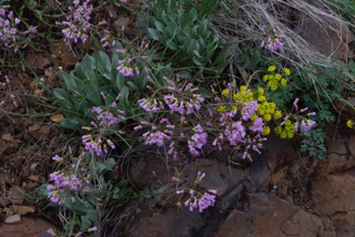
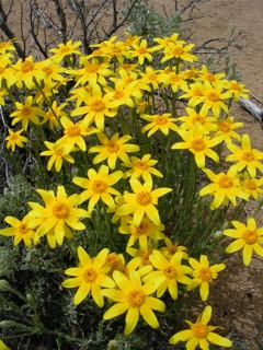
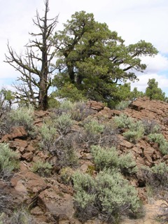
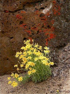
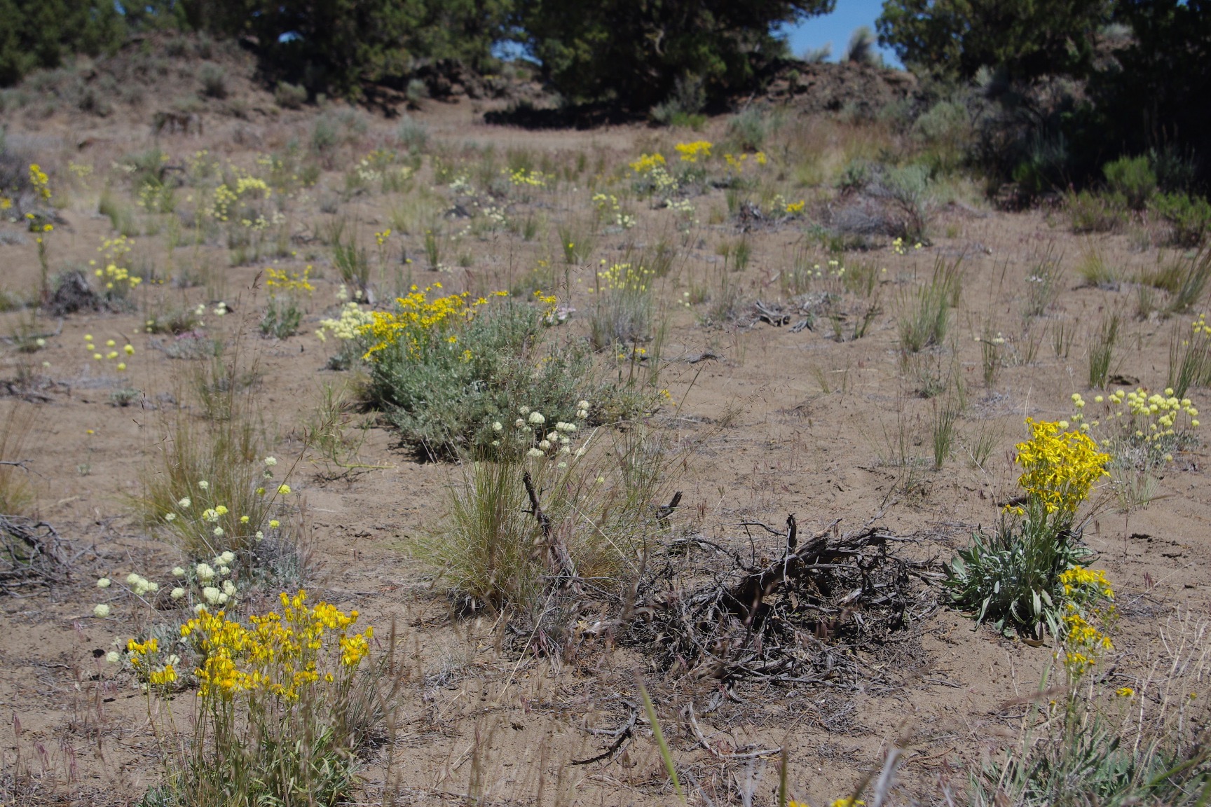
 The Oregon Badlands Wilderness is a 29,182 acre gem in the Oregon high desert. The draw for visitors is a mix of flat sand flats and drainages mixed amongst numerous lava formations consiting of outcrop, ridges, small towers and rocky crags. This corner of desert is dominated by an open western juniper forest (some trees are up to 1500 years old!) with numerous desert shrubs and a plethora of spring and early summer wildflowers. When you return in the fall, the resident sagebrush and rabbitbrush will put on their brilliant show of yellow-flowered stems.
Several largely flat trails traverse the region and there are opportunities for cross-country travel (practice no-trace principles and be proficient at navigating cross country). When hiking here, be sure to carry plenty of water, especially on warm days. Most people visit the wilderness in fall, winter and spring due to the blistering summer heat.
Additional Information:
Oregon Badlands Wilderness BLM Brochure (PDF)
Hike descriptions for the Flatiron, Badlands Rock, Dry River Canyon, Tumulus Loop and Horse Ridge via Sand Canyon Trails can be found in "Day Hiking Bend and Central Oregon" by Brittany Manwill.
Horse Ridge Research Natural Area (Guidebook Supplement #37) - An interesting BLM sitea few miles to the south-southeast of the Badlands. Contains a pretty thorough inventory of plants and animals from the RNA, many of which can be found in the Badlands.
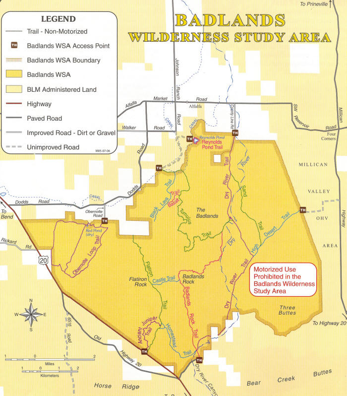
Trails:
Dry River Trail
Tumulus Trail
Partial Flora of the Oregon Badlands Wilderness, Horse Ridge RNA, Sand Ridge & Millican Valley
May 12, 2018: Wildflowers of the Ancient Junipers and Flatiron Rock Trails (Oregon Badlands Wilderness)
At this point, don't expect to find water or restroom facillities at the trailheads.
The southwestern boundary of the Badlands Wilderness runs along the north side of US Highway 20.
From Bend: Drive east on US Highway 20. You should begin seeing a few wilderness signs at about milepost 12.6 and the wilderness runs east (on the north side of the road) to about milepost 17.5. The Ancient Juniper and Flatiron Trails are accessed off the north side of Highway 20 nar MP 16. The Badlands Rock Trail trailhead is accessed off the north side of Highway 20 at about MP 17.The Horse Ridge via Sand Canyon Trail (outside the wilderness) is accessed off the south side of Highway 20 at about MP 15.