 -
- 
-
 -
- 
 Directions:
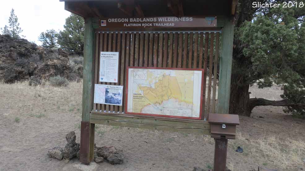
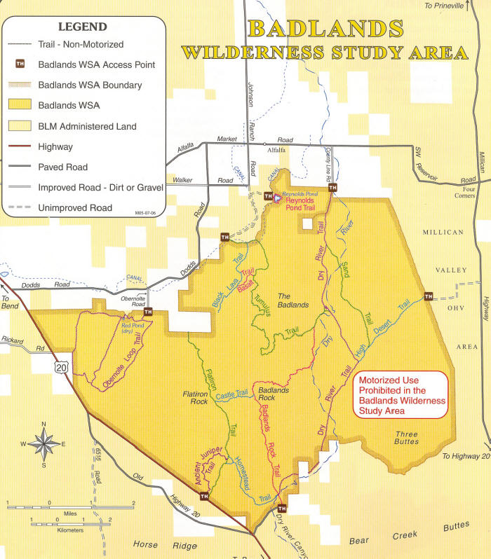
Drive east of Bend on US Highway 20 for about 16 miles. Turn left (north) into the Flatiron Rock trailhead. No restrooms, no water, no picnic tables. No fee. Pleas pack out dog wastes and trash and bury human wastes. Stay on the trails to help preserve spring wildflowers that will be dormant and not visible in the sandy soils between the shrubs the rest of the year. If the weather is hot, bring plenty of water.
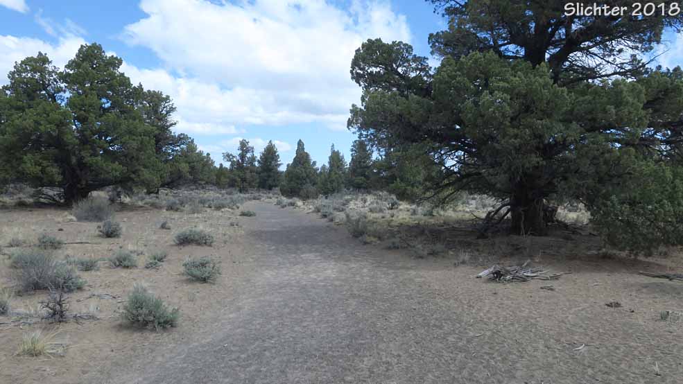
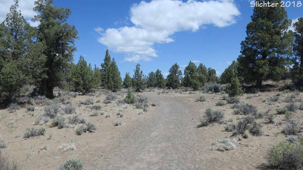
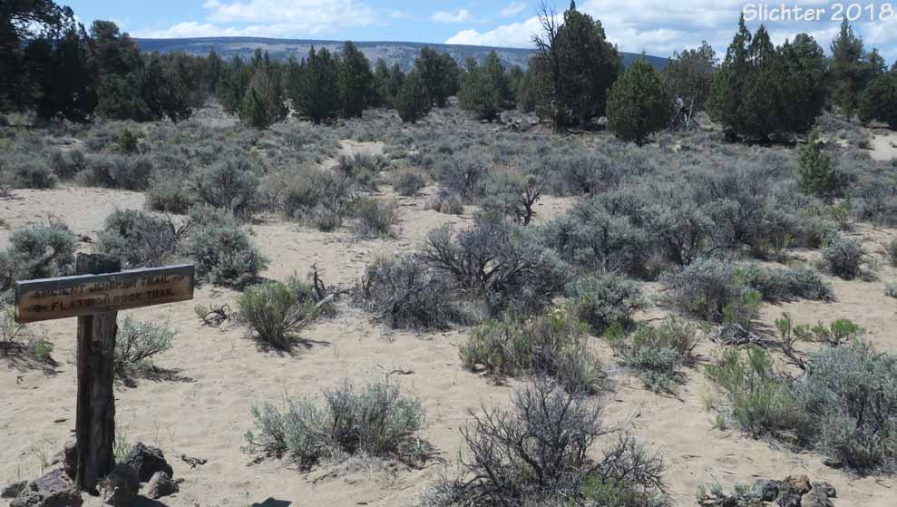
From the parking lot, head east a short distance to the signed trailhead. The Ancient Junipers Trail proceeds to the left (north) from this trailhead while the Flatiron Rock Trail proceeds to the right (east and quickly to the north). The Flatiron Rock Trail is about 3 miles long (one way) from the trailhead to Flatiron Rock. The elevation varies slightly with a total gain/loss of about 60 feet. The trail is mostly hard-packed san and passes through a mix of sand and craggy basalt habitats. Areas of diisturbed sandy soils are dominated by cheatgrass (Bromus tectorum) between the shrubs, but one can still find relatively native stands of spring wildflowers along some sections of the trail. The Flatiron Rock Trail by itself is an out and back route, but one can add other trails to make a loop. Onesuch addtion (for a short loop of 3.25 miles) is the Ancient Junipers Trail which by itself is about 1.9 miles long with some elevation gain (perhaps 75'). The trail varies from loose sand to hard rock and it passes through stands of approximately 1000 year old western juniper (Juniperus occidentalis). The trail undulates up and down through the juniper forest, with views north towards Gray Butte and Pine Mt. to the north, Pine Mt. (with the obervatory at its summit) to the southeast, and Horse Ridge to the south.
Wildflowers:
From mid- May to mid-June, expect the following in bloom along the trails here:
Indian ricegrass (Achnatherum hymenoides), woollypod milkvetch (Astragalus purshii var. lagopinus), dustymaidens (Chaenactis douglasii var. douglasii), anderson's larkspur (Delphinium andersonii), yellow desert fleabane (Erigeron linearis), cushion buckwheat (Eriogonum ovalifolium var. ovalifolium), strict buckwheat (Eriogonum strictum var. anserinum), rough wallflower (Erysimum capitatum), mission bells (Fritillaria atropurpurea), sand lily (Leucorinum montanum), woolly groundsel (Packera cana), threadleaf phacelia (Phacelia linearis), antelope bitterbrush (Purshia tridentata), and showy townsendia (Townsendia florifer). The gray rabbitbrush (Ericameria nauseosa) and green rabbitbrush (Chrysothamnus viscidiflorus ssp. viscidiflorus) and sagebrush will late summer and early fall color.
Plant Lists:
Partial Flora of the Oregon Badlands Wilderness, Horse Ridge RNA, Sand Ridge & Millican Valley
May 12, 2018: Wildflowers of the Ancient Junipers and Flatiron Rock Trails (Oregon Badlands Wilderness)