Wildflower Trails of Mt. Adams
A) Viewpoints from Roads
Glenwood, WA - Especially good is the BZ Corners- Glenwood Rd in the vicinity of Conboy Lake National Wildlife Refuge, and the first 2 miles of the Mt. Adams Highway at the northeastern corner of Glenwood. October views are especially stunning with the numerous, yellow foliage black cottonwoods in the foreground.)
Trout Lake, WA - Drive along Highway 141 just south of Trout Lake, Trout Lake-Glenwood Rd within the first 2 miles east of Trout Lake, and the Mt. Adams Recreation Area Rd to the north of Trout Lake for broad vistas of Mt. Adams.)
Trailhead for Hellroaring Meadows (Yakama Reservation) - Provides views up to Suksdorf Ridge, Mazama Glacier, and Little Mt. Adams. If you look about, you can frame the mountain with good collections of wildflowers in the foreground from this spot.
Bench Lake (Yakama Reservation) - Provides good views (including sunrise) of the southeastern slopes of Mt. Adams, especially from the eastern shore. Accessed via the campground. Be aware that Little Mt. Adams and the Ridge of Wonders blocks views of the northeastern slopes of Mt. Adams. Bench Lake is also a good spot for star gazing, as well as for watching for "shooting stars".
Bird Lake (Yakama Reservation) - Provides a decent view of the upper slopes of Mt. Adams with Bird Lake in the foreground.
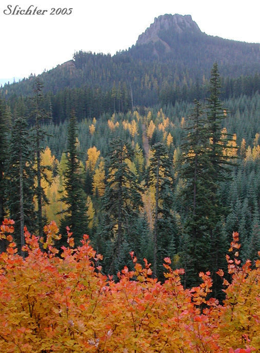
Mirror Lake (Yakama Reservation - Provides a decent view of the upper slopes of Mt. Adams with the shallow, water-lily filled Mirror Lake in the foreground.
Road #23 - During the 1970s, there were numerous new clear cuts along this road that gave good views north to the mountains. Now the trees are 30-40 years old and block the previous viewpoints to the mountain. Now the best place to see the mountain from this road occurs at the Mt. Adams Viewpoint, about one-half mile south of Rd #8810. This might be a decent spot for colorful sunrise behind the mountain on cloudy mornings, but especially excels for sunset, especially on smokey days in late summer or early fall. There are several other areas where one can catch a glimpse of the mountain from road #23 on the west side of Mt. Adams, including near its junction with Rd #90 in the Lewis River drainage, and near the junction with Rd #2334. Park safely in these areas as traffic, although sparse, travels quickly and good spots to pull over are few and far between!
Road #2329
a) Takhlakh Lake
b) Takh Takh Meadows
c) Keenes Horse Camp
d) Muddy Meadows Trailhead
Road #2360 - Climb to the ridgetop (running from Sleeping Beauty north to Swampy Meadows) and turn north. Provides sweeping views north and eastward of the whole southwestern and southern slopes of Mt. Adams, from the Bumper in the west to McDonald and Suksdorf Ridges in the east. Also provides a close view south to Sleeping Beauty.
B) Fall Color via Roads
a) Road #82 (abundant vine maple and Douglas maple and a fair amount of aspen and black cottonwood)
b) Road #8040 (abundant vine maple and Douglas maple, some aspen and black cottonwood as well as Pacific dogwood)
c) Road #23 (abundant western larch, black cottonwood, vine maple, Douglas maple, and big leaf maple)
d) Road #2360 (abundant western larch, black cottonwood, and vine maple with spectacular views northeast to much of the southern face of Mt. Adams, and views south to Sleeping Beauty (See photo above.).
C) Viewpoints from Trails
Hellroaring Meadows -
Hellroaring Viewpoint (Bird Creek Meadows) -
South Climb Trail #183 - Begin in timber at Cold Springs CG and climb to near the junction with the Round the Mt. Trail #9 where views of the mountain begin. Closer views can be obtained by climbing higher toward the Crescent Glacier.
Round the Mt. Trail #9 at Crofton Ridge (Junction with Shorthorn Trail #16) - Proceed west several miles on the Round the Mt. Trail from the South Climb Trail #183 or climb the Shorthorn Trail. Views of the south side of Mt. Adams are visible from the junction of these 2 trails on the east side of the crest of Crofton Ridge.
Crofton Butte - From the eastern trailhead of Crofton Ridge Trail # at Rd #, proceed west about 1 mile, crossing Crofton Creek (runs high in late spring to early summer) and proceeding to the crest of Crofton Ridge. Turn right, and generally follow the crest of the ridge, proceeding north about one-quarter mile (seems longer due to some bush-whacking). Views are from the northeast corner of Crofton Butte. Beware of climbing down onto steep, rocky and gravelly slopes, which are definitely not the easy way to return to Crofton Creek due to the steepness and dense shrubs of thelower slopes.
Sleeping Beauty -
Pacific Crest Trail #2000: Horseshoe Meadows - From the trailhead on Rd #23, climb the Pacific Crest Trail, reaching first the Stagman Ridge Trail #12 and then Horseshoe Meadows. At Horseshoe Meadows, the sweeping views of the southwestern corner of Mt. Adams including the Pinnacle and Mt. Adams Glacier. The meadows dry quickly, and thus lack interest in terms of adding wildflower meadows to the foreground of photos.
Crystal Lake - A long day hike via the Pacific Crest Trail (from the trailhead on Rd #23) or a more reasonable hike via the Riley Trail.#64. The upper one-half mile of the Riley Trail, as well as the Pacific Crest Trail in the Riley Creek drainage provide great views of the western slopes of Mt. Adams. To visit Crystal Lake, turn south on the PCT from the Riley Trail proceeding to the crest of the ridge, then bushwhacking the ridgetop to the lake. Once you've found the lake, you can follow one of the faint, unofficial trails back to the PCT. Crystal Lake is a small, deep lake about the size of an Olympic size swimming pool. One can get a reflection of Mt. Adams from this site.
Riley Trail at Riley Camp - Riley Camp is an unofficial camp about one-half mile west of the Pacific Crest Trail. Walk around the meadows to find the best photo sites towards Mt. Adams.
Council Bluff - I remember driving to near the summit (where there once was a lookout tower) during the mid 1970s, but the primitive road is now closed. Hike from the trailhead at Council Lake about one-half mile to the summit at 5180'. Views extend eastward towards the whole western face of Mt. Adams (including the cascading sheet of Adams Glacier) as well as westward along the Dark Divide towards Mt. St. Helens.
Divide Camp Trail - Most views of Mt. Adams include flower-filled meadows near the junction with the Pacific Crest Trail #2000.
Killen Creek Trail - Nice flower-filled meadows lining a small creek may be found about one-half mile below the junction with the Pacific Crest Trail #2000. Continue upslope (very steep and sandy) for about a mile above the PCT to the flower-filled meadows surrounding High Camp, the base camp for many climbing the north climb route to the summit of Mt. Adams.
Highline Trail #114 - Either reached via the Killen Creek Trail #113 ( a very long day trip) or the Muddy Meadows Trail #13 (a 2 hour climb from the trailhead just to reach the Highline Tr). Turn left and proceed about one mile to the meadows at Foggy Flat where you get your first good look at Mt. Adams. Continue uphill along the trail to treeline, where you begin getting close views of the northeastern slopes of Mt. Adams (including Lava and Lymon Glaciers) and Red Hill. Continue further to the Devils Gardens, or Goat Butte (includes 2 possibly difficult stream crossings). This trail is the only way you can get close views of the northeastern slopes of Mt. Adams.
Potato Hill - On Rd #5360, proceed east of the junction with Rd #2329 several miles to where the Pacific Crest Trail crosses the road. Park, and proceed north on the PCT for about one-quarter mile, before veering right from the trail and climbing the steep slopes of Potato Hill. Its western face is fairly heavily forested (as is its crater), but the southern face is more open.
a) Southeast
b) South
c) Southwest
d) West
e) Northwest & North