Permits: The entire trail is outside the Mt, Adams Wilderness. Wilderness permits will be needed if you proceed west on the Round the Mt Trail #9, and Yakama permits are needed if you proceed east on Trail #9 into Bird Creek Meadows.
Low Elevation: 3800'
High Elevation: 6300'
Elevation Gain: 2500'
Trail Length: 5.7 miles (9.2 km)
Water: Always filter or boil all water obtained along this trail! A small stream (good to mid-summer) is found just west of the lower trailhead. A stream may be found along the eastern edge of much of the Aiken Lava Flow.
Snipes Mountain, which this trail traverses on its western slope, is named after local cattleman, Ben Snipes. The area was grazed after 1912 by local ranchers and was an area of conflict between those grazing sheep and those grazing cattle at the time.
Two trailheads exist on Rd #150. The first is at the lowest elevation which is at the lowest most point of the Aiken Lava Flow, while the second is at the terminus of Rd #150, at about 4500' on the western edge of Snipes Mt. Small vehicles, or passenger cars with low clearance and long length may have difficulty making it to the end of Rd #150 due to several bermed areas on the road. near 4400'.
The Snipes Mt. Trail #11 departs the lower trailhead at 3800' near a small stream which may be of interest to explore for plant life and the interesting birds to be found in this area. The trail climbs along the eastern edge of the Aiken Lava Flow which was formed from a vent at about 6500' on the Suksdorf Ridge of Mt. Adams. The uppermost mile of the trail parallels the edge of the Yakama Reservation. The trail affords good opportunity to investigate the plant life and animals of several different habitats along its course, including the arid lava flow, riparian brush along Gotchen Creek, and the dry coniferous forest to the east of the trail.
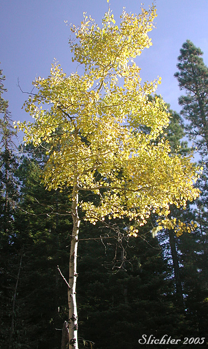
October 14, 2005: Rd #150 at the Snipes Mt. Trailhead
May 28, 2005: Snipes Mt. - Accessed via Road #150 rather than trail.
May 7, 2005: Gifford Pinchot NF Rds 071 & 150 to Snipes Mt. (including Trailhead for Snipes Mt. Tr #11)