The following represent plant lists for selected natural areas in Washington. Some of the lists include plants from previous NPSO or WNPS field trips or may be based on voucher specimen data obtained from the Consortium of Pacific Northwest Herbaria or lists provided by the Washington Native Plant Society. The remainder of the plants in each list have been seen and confirmed by the webmaster, Paul Slichter. The lists are generally incomplete at this point and are in PDF format. Some rare plants may have been omitted from the lists for their protection. Plants with parentheses around a variety or subspecies name, like (v. gracilis?) have been identified to species but the variety or subspecies ID is still uncertain. A question mark after the species name in parentheses, like Potentilla (gracilis?) indicates the genus is certain, but species ID is not. Question marks after the common name or whole scientific name indicate that the identification is uncertain, or it is a plant others have seen but I haven't verified its prescence yet.
Additions or corrections can be e-mailed to the webmaster at the address below (Data concerning fungi, grasses, lichens, mosses, rushes and sedges are especially welcomed for each site.). Lists may be updated several times through the 2019-20 season so check back days before your anticipated trip. You are free to use these plant lists (including print them out for a field trip) both for personal hike or a group field trip (say one used for a hike sponsored by the Friends of the Columbia Gorge, Native Plant Society of Oregon, or Washington Native Plant Society). For other uses of the list, please contact the webmaster at the E-mail address below.
Asotin County
Chelan County
Garfield County
Misery Springs Campground (Umatilla National Forest)
Ray Ridge Viewpoint (Wenaha-Tucannon Wilderness)
Toucannon River Trail #3135 (Umatilla National Forest) - A Botany Washington 2007 Field Trip
Kittitas County
Beverly Turnpike Trail #1391(Okanogan-Wenatchee National Forest)
Iron Creek Trail #1351 (Wenatchee National Forest)
Lion's Rock, Mission Ridge & Table Mountain Lists (Okanogan-Wenatchee National Forest)
Forest Service Road #3507: South and west slopes of Lions Rock (Okanogan-Wenatchee National Forest)
Forest Service Road #3521 (Okanogan-Wenatchee National Forest)
Forest Service Roads #9712 & #9716: Diamond Head and Western Mission Ridge (Okanogan-Wenatchee National Forest)
Howard and Naneum Creeks Loop: Trails #1372, #1373 & #1381 (Okanogan-Wenatchee National Forest)
Reecer Creek Road, FS Road #35 (Okanogan-Wenatchee National Forest)
Little Naches River Road, FS Road #19 (Okanogan-Wenatchee National Forest)
Miller Creek Trail #1397(Okanogan-Wenatchee National Forest)
Swauk Campground (Okanogan-Wenatchee National Forest)
Umtanum Creek Falls Trail (LT Murray State Wildlife Area)
UW Observatory & surrounding lands on Manastash Ridge (LT Murray State Wildlife Area)
Klickitat County
Company Road (Wahkiacus to Leidl Park: Columbia Land Conservancy right of way, WDFW and private lands)
Conboy Lake National Wildlife Refuge
Crawford Oaks and Eightmile Creek (Columbia Hills State Park: SR14 to the Dalles Mt. Ranch)
Dancing Rock Property (Friends of the Columbia River Gorge)
Bickleton Ridge & the East Simcoe Unit of the Klickitat Wildlife Area
Grayback Mountain (list only from the Klickitat State Wildlife Area)
Horsethief Butte (Columbia Hills State Park)
Klickitat Trail: Fisher Hill Road to Pitt
Klickitat Trail: Wahkiacus to Klickitat Springs
Klickitat Trail: Lower Swale Canyon
Klickitat Trail: Upper Swale Canyon
Monte Carlo (Gifford Pinchot National Forest and Department of Natural Resources lands) from Penny Ridge to north end of Monte Carlo ridge.
Monte Cristo (Gifford Pinchot National Forest) via the Monte Cristo Trail from Road 86‐080 to Monte Cristo
Panakanic: Private meadows at the head of Rattlesnake Creek.
Western Simcoe Mountains - West of US Highway 97 (most of this is now private or Yakama Nation lands with the only public access at the old Blewett Pass Ski Area)
Willard Springs Trail, Conboy Lake National Wildlife Refuge
SR 14 at MP 115.5
Three Bench Loop
Lewis County
Goat Ridge Trail #95 (Goat Rocks Wilderness)
Walupt Lake Campground & Walupt Lake Trail #101 (Gifford-Pinchot National Forest & Goat Rocks Wilderness)
Pierce County
Noble Knob Trail #1184 (Mt. Baker-Snoqualmie National Forest & Norse Peak Wilderness)
Skamania County
Babyshoe Meadows (Gifford Pinchot National Forest: Mt. Adams)
Bathtub Meadow (Gifford Pinchot National Forest: Mt. Adams)
Crofton Ridge Trail #73 (Mt. Adams Wilderness)
Divide Camp Trail #112 (Mt. Adams Wilderness)
Dog Mountain (Columbia Gorge National Scenic Area)
Gillete Lake (Pacific Crest Trail from Bonneville Dam Trailhead)
Grand Meadows (Gifford Pinchot National Forest: Mt. Adams)
Grassy Knoll (Gifford Pinchot National Forest: Columbia River Gorge)
Hamilton Mountain (Beacon Rock State Park & Columbia Gorge National Scenic Area)
Hardy Ridge & Phlox Point from the Equestrian Trailhead (Beacon Rock State Park & Columbia Gorge National Scenic Area)
High Camp (Mt. Adams Wilderness)
Horseshoe Meadows & Slopes below the White Salmon Glacier (Mt. Adams Wilderness)
Killen Creek Trail #113 (Mt. Adams Wilderness)
Little Naches River Road, FS Road #19 (Okanogan-Wenatchee National Forest)
Monte Carlo (Gifford Pinchot National Forest and Department of Natural Resources lands) from Penny Ridge to north end of Monte Carlo ridge.
Monte Cristo (Gifford Pinchot National Forest) via the Monte Cristo Trail from Road 86‐080 to Monte Cristo
Muddy Meadows (Mt. Adams Wilderness)
Muddy Meadows Trail #13 (Mt. Adams Wilderness)
Pacific Crest Trail from Road #23 to Horseshoe Meadows (Mt. Adams Wilderness)
Pacific Crest Trail from the Riley Creek Trail #64 to Crystal Lake (Mt. Adams Wilderness)
Riley Creek Trail #64 (Mt. Adams Wilderness)
Shorthorn Trail #16 (Mt. Adams Wilderness)
Silver Star Mt.
Slopes at the base of the Adams Glacier (Mt. Adams Wilderness)
Stagman Ridge Trail #12 (Mt. Adams Wilderness)
Swampy Meadows (Gifford Pinchot National Forest: Mt. Adams)
Three Corner Rock (Yacolt Burn State Forest) via the Pacific Crest Trail from CG Road 2090
Trail #9 from the PCT to Trail #183 (Mt. Adams Wilderness)
Trail #9 from Trail #183 to the NF/Yakama Nation Boundary
Spokane County
Painted Rocks Trail (Along Little Spokane River, Little Spokane River Natural Area)
Valley Trail (Little Spokane River Natural Area accessed to NW of Painted Rocks trailhead)
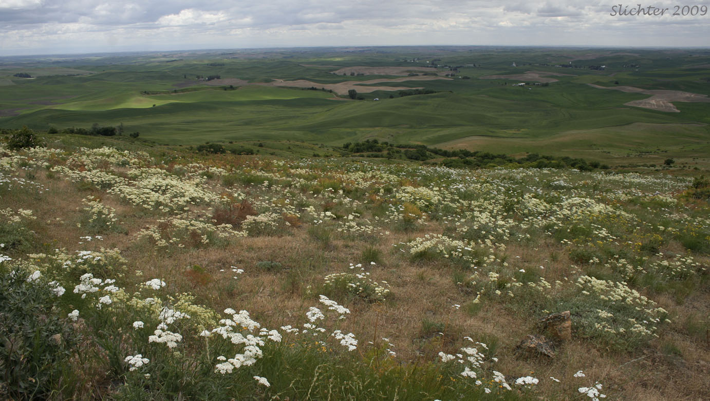
Whitman County
Yakima County
Bear Creek Mountain Trail #1130 (Goat Rocks Wilderness)
Bird Creek Meadows (Tract D, Yakama Nation)
Boise Cascade/Wenas Campground (upper Wenas Valley)
Devils Garden (Mt. Adams Wilderness & Yakama Nation)
Hellroaring Meadows (Tract D, Yakama Nation)
Highline Trail #114 from Trail #13 to Below the Devil's Garden (Mt. Adams Wilderness)
Island Camp Recreation Area & Wind Caves Trail (Washington State Department of Natural Resources)
Island Springs Trail (Tract D, Yakama Nation)
K1000 Haul Road (Washington State Department of Natural Resources and private?)
Muddy Meadows Trail #13 (Mt. Adams Wilderness)
Oak Creek Road #1400 (Oak Creek Wildlife Area & Okanogan-Wenatchee National Forest)
Public Lands North of Glenwood, WA to the Yakama Nation Boundary
River Route Road/Trout Creek Road (along Klickitat River)
Rock Quarry at the end of Road K6900 (DNR and southern edge of Yakama Nation lands)
Shorthorn Trail #16 (Mt. Adams Wilderness)
South Climb Trail #183 (Mt. Adams Wilderness)
Umtanum Creek Falls Trail (LT Murray State Wildlife Area)
UW Observatory & surrounding lands on Manastash Ridge (LT Murray State Wildlife Area)
Washington Native Plant Society: Plant Lists