 Overview:
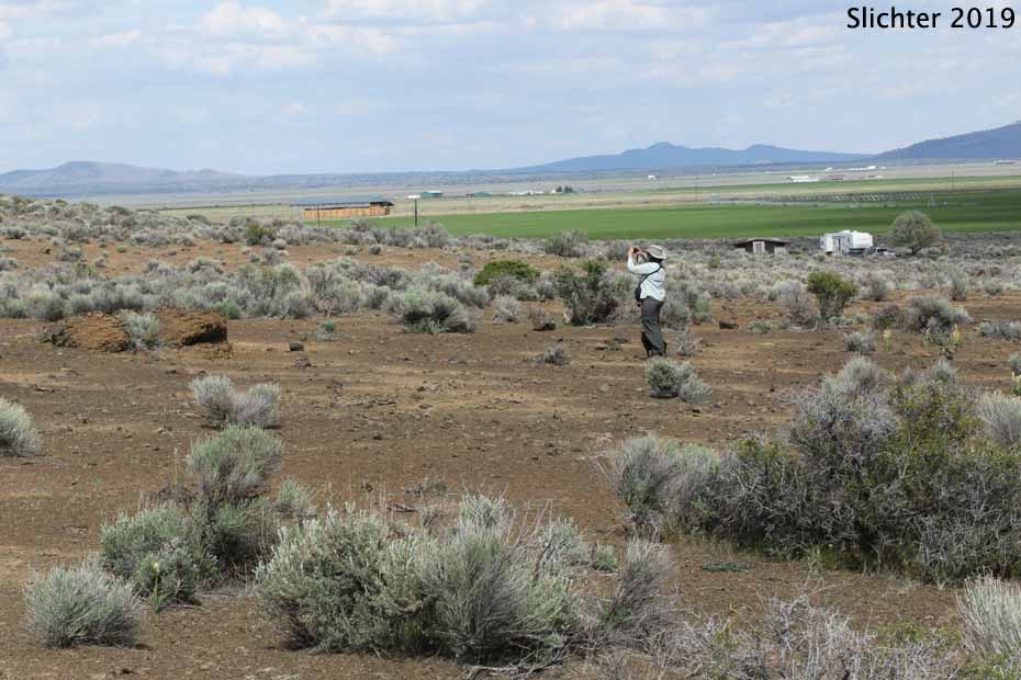
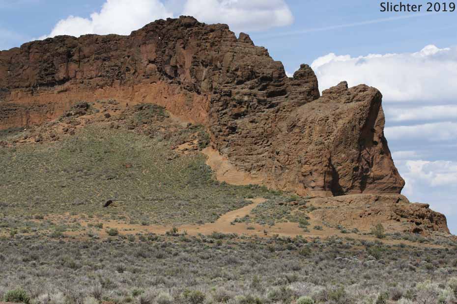
Fort Rock State Natural Area is a former Oregon state park consisting of 370 acres of land situated just northwest of the small town of Fort Rock, OR. Fort Rock is a volcanic structure known as a tuff ring located on the relatively flat remains of an ice age lake bed in northwestern Lake County. The ting is about 4400' in diameter with the walls about 200' high. The tuff ring is open on the south side, allowing foot access into the crater.
The tuff ring was formed when magma rose to the surface under the ancient lake and encountered wet muds. The mixture of hot magma and moisture in the muds and lake resulted in explosions, sending lava and ash skyward where it settled around the vent, forming a cone within the lake. Wave action from the lake eroded the outer portions of the tuff ring, leaving near vertical cliffs and terraces about 60 ' higher than the surrounding flatlands. It is estimated that Fort Rock is 50-100,000 years old. There is also evidence of early human residence in the area as far back as about 8000 years BC.
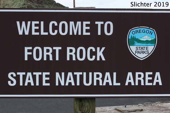
The site has a small restroom building with flush toilets and sinks with running water, several picnic tables, and interpretive signage to interpret the geological and archeological significance of the site. There's also a spigot near the park host trailer site which we've used to fill water bags for camping at other nearby remote locations in Lake County. The water is a bit alkaline but fine for consumption. No camping is permitted at this site. This site does not require an Oregon State Park Pass.
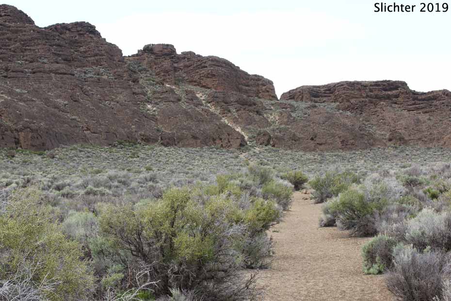
Several roads and trails diverge from the parking area out along the southern base of Fort Rock as well as into the crater itself. Most plant and animal life can be viewed from these trails, but the land is open enough that one could hike cross country around the exterior of Fort Rock. The flora here is more typical of the sandier areas of the High Desert, and a stop here is worth the time to bird the cliffs looking for unusual species.
The town of Fort Rock has a small grocery store (evidently with gas available), a pub and a restaurant as well as an interesting museum. Hours of operation are limited for all of these, so do some research ahead of time before you arrive. Christmas Valley further to the east has additional amenities.
From La Pine, OR: Drive south on US 97. Turn left onto Oregon Highway 31. Drive 29.2 miles and turn left onto Lake County Road 5-10. Drive 6.4 miles east. Fort Rock itself will soon become visible several miles ahead on your left. In the small town of Fort Rock, OR, turn left onto Lake County Road 5-11. This may also be signed as Cabin Lake Road, and there should be signage indicating Fort Rock State Natural Area in that direction. Drive north on County Road 5-11 for one mile and turn left onto County Road 5-11A for about half a mile, turning right into the park. Approximate driving time from La Pine is about 45 minutes without stops.
From Lakeview, OR: Drive north on US 395 from Lakeview. Stay left onto Oregon Highway 31, eventually passing through Paisley and Summer Lake (gas and food at both locations). Continue north on OR 31 to Silver Lake, OR. Here, one can either continue north on OR 31 to Lake County Road 5-10 where you'd turn right and follow the directions above. Or, one can turn right onto County Road 5-13 (Picture Lane just east of Silver Lake. OR 5-13 is on the east side of the cemetary. This is a good gravel road passing through both moist and dry range and farmlands for 16 miles to Fort Rock. In Fort Rock, drive north one mile on Lake County Road 5-11 and turn left onto 5-11A into the park. If you like to bird, slow down while driving Lake County Road 5-13 during the first 8 miles of road scanning the fencelines and wetlands for interesting birds. Approximate driving time from Lakeview is 2 hours without stops. The rest area at the north end of Summer Lake is a good spot for a break from driving.
Plant Lists:
Wildflowers begin blooming at this location by late April and continue into late June. The bloom period can be extended into July if there is sufficient spring rainfall. Late summer into early fall will see a mass of blooming sagebrush and gray and green rabbitbrush.
Interesting wildflowers to look for here include: sand lilies, bitterroot, Anderson's larkspur, mat evening-primrose, Lott's gilia, two-colored phacelia, threadleaf phacelia, Harkness' plagiobothrys, dwarf purple monkeyflower, narrow-leaved paintbrush, showy penstemon, white eatonella, white tidytips and gray rabbitbrush.
May 1, 2017: Fort Rock State Natural Area
May 18, 2016: Fort Rock State Natural Area
July 19, 1998: Fort Rock State Park and Cabin Lake C.G. (Deschutes N.F.)
Resources:
Fort Rock State Natural Area - Oregon State Parks website info.
100 Hikes/Travel Guide: Eastern Oregon by William L. Sullivan - This book has a description of hikes at Fort Rock and around Fort Rock Valley and Christmas Valley. It should be available at many book stores that cater to hikers and nature enthusiasts. Obtain the latest edition for the most current information.
 -
-  -
-