Malheur National Forest
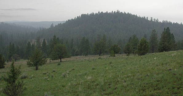
A view southwest from Shangri-la towards the Shaketable Natural Research Area ..........May 24, 2003. Shaketable Butte is visible in the near distance.
The Shaketable Research Natural Area is located just east of the South Fork John Day River
Location: About 20 raven miles SW of John Day, 9 miles S/SE of Aldrich Mtn. Driving time:
70-80 minutes from John Day on improved gravel roads.
Access: Take US Highway 26 west from John Day to Fields Creek. Turn south onto US FS Rd 21 for 13 miles to Murderers Creek (paved 1 lane w/turnouts), then Forest Road 2490 (good gravel) for 5 miles to a junction with FS Rd 2490-203, then a few hundred yards (if dry) on 203 to parking. 2 WD vehicles OK on all.
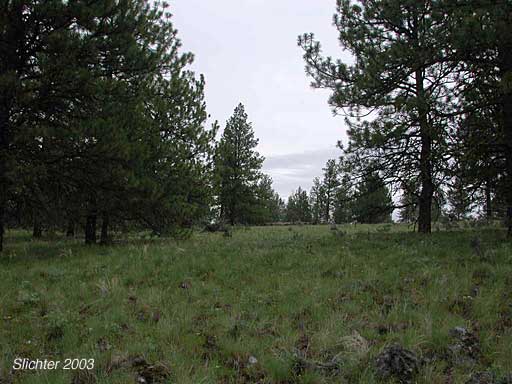
Partial Flora of the Shaketable Research Natural Area
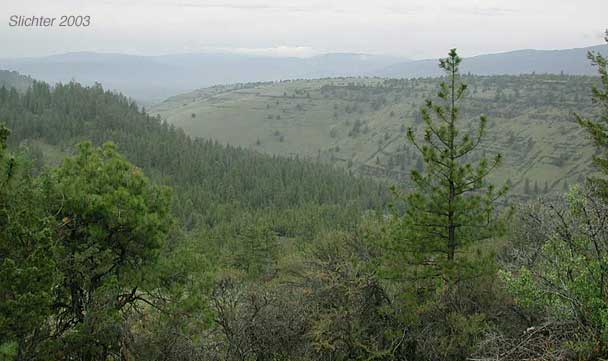
May 25, 2003: Shangrila
 -
-  -
- 