[The Genus Plectritis East of the Cascade
Mountains of Oregon and Washington]
Longhorn Plectritis, Longspur White Plectritis, White Plectritis
Plectritis macrocera
Synonyms: Plectritis macrocera ssp. grayi, Plectritis macrocera ssp. macrocera, Plectritis macrocera var. collina, Plectritis macrocera var. grayi, Plectritis macrocera var. macrocera, Plectritis macrocera var. macroptera, Plectritis macrocera var. mamillata
 -
-  -
- 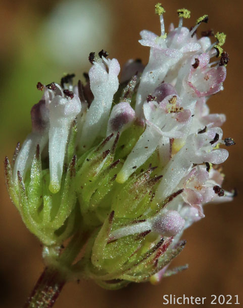
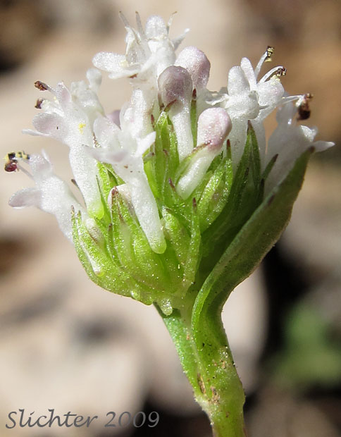
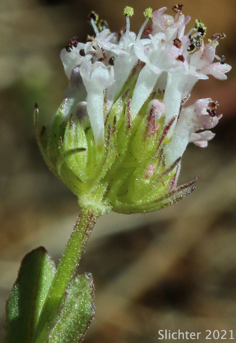
The terminal flower head of white plectritis as seen at left in the Soda Springs Unit of the Klickitat State Wildlife Area of south-central Washington.........May 8, 2009. The photos at center and right show white plectritis as seen on BLM lands just south of the southern boundary of the Simcoe Mountains Unit of the Klickitat Wildlife Area......April 15, 2021.
Characteristics:
White plectritis is a small, early blooming annual
with slender to stout stems from 5-15 cm tall. The herbage is generally smooth,
although it maybe finely glandular in the inflorescence. The stems are single
with one to several pair of clasping leaves rising from a basal rosette of tiny,
oval leaves. The basal leaves often turn yellow very quickly. They are obovate
and short petiolate while the stem leaves are oblong or elliptic and sessile.
The leaves range from 1-4.5 cm long and 3-18 mm wide.
The inflorescence is clusters of cylindrical flowers
at the apex of the stem. The flowers are 5-petalled and white or pinkish. The
corolla is 2-6 mm long with a short, thick spur.
Habitat:
White plectritis may be found on streambanks and
on seasonally moist slopes.
Range:
White plectritis may be found from southern British
Columbia south on both sides of the Cascades to southern California and east
to Montana and Utah.
 -
- 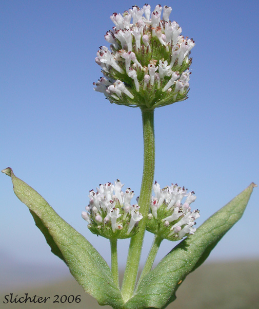
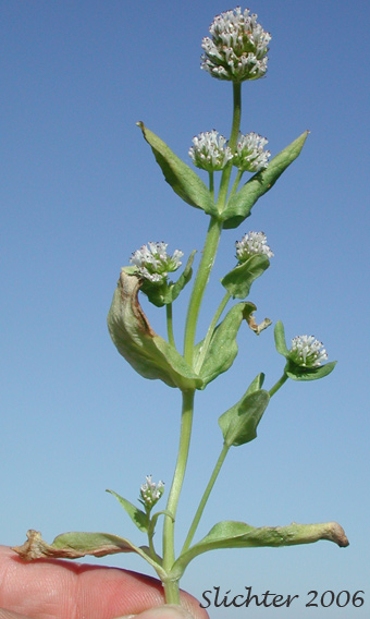
Close-ups of white plectritis (minus the roots). Note the opposite leaves and side branches or smaller flower heads which are axillary. Photographed at the crest of the Columbia Hills to the east of the Klickitat River in south-central Washington.........May 14, 2006.
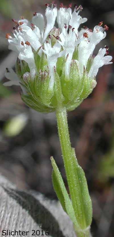
White plectritis as seen on slopes above the east bank of the John Day River about one to two miles downstream of Oregon Highway 206 in Cottonwood Canyon State Park and adjacent BLM lands.........April 9, 2016.
Paul Slichter