[Potentilla gracilis] -- [Cinquefoils: The Genera Comarum, Dasiphora, Drymocallis and Potentilla East of the Cascade Mountains of Oregon and Washington]
Slender Cinquefoil, Graceful Cinquefoil
Potentilla gracilis var. fastigata
Synonyms: Potentilla amadorensis, Potentilla angustata, Potentilla blaschkeana, Potentilla blaschkeana var. blaschkeana, Potentilla blasckeana, Potentilla blasckeana var. permollis, Potentilla etomentosa, Potentilla etomentosa var. hallii, Potentilla fastigiata, Potentilla glomerata, Potentila gracilis ssp. nuttallii, Potentilla gracilis var. blasckeana, Potentilla gracilis var. brunnescens, Potentilla gracilis var. glabrata, Potentilla gracilis var. nuttallii, Potentilla gracilis var. permollis, Potentilla gracilis var. rigida, Potentilla hallii, Potentilla hassei, Potentilla indiges, Potentilla jucunda, Potentilla nuttallii, Potentilla permollis, Potentilla rectiformis, Potentilla viridescens
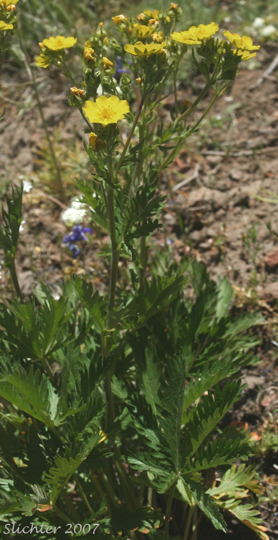
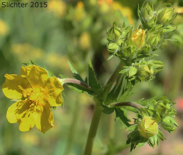
The photo above shows the flower of slender cinquefoil near 6000' along the Hat Pt. Road, Hell's Canyon National Recreation Area........June 26, 2007. The leaves are greenish on both the upper and lower surfaces.
 -
- 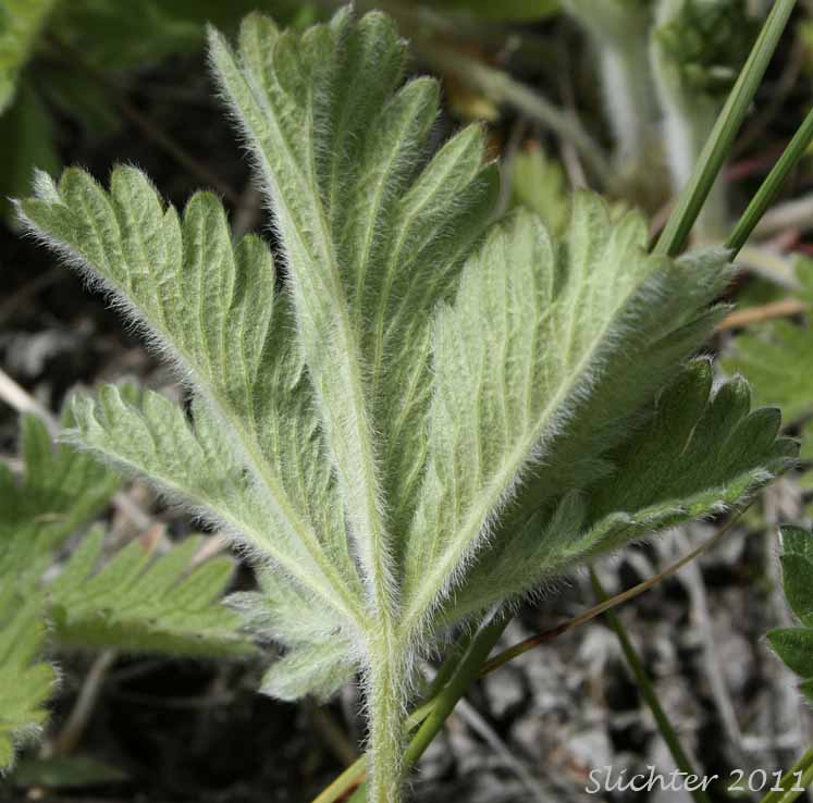
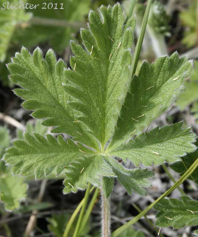
Dorsal (left) and ventral (right) leaf surfaces of slender cinquefoil (var. fastigiata) as seen along Rock Creek at the Escure Ranch (BLM), eastern Adams County, WA.........May 14, 2011.
 -
-  -
-  -
- 
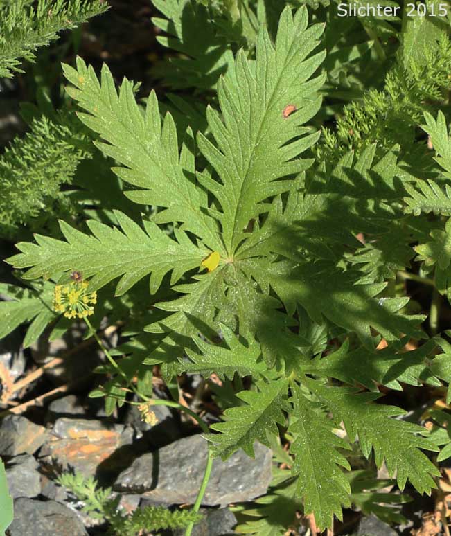
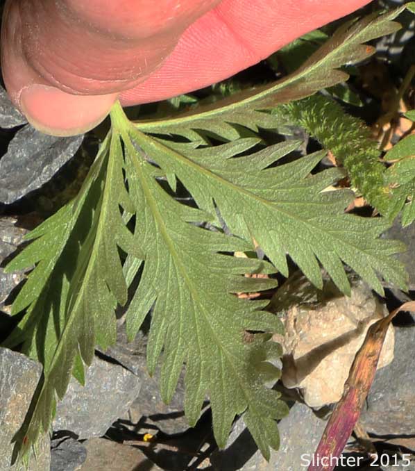
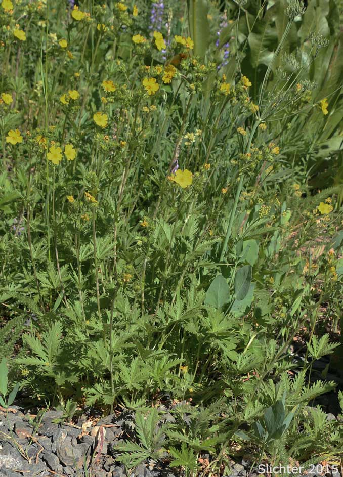
Slender cinquefoil as seen at Camas Lands NAP to the southeast of Leavenworth, Washington..........June 5, 2015. Note the greenish lower leaf surfaces.
 -
- 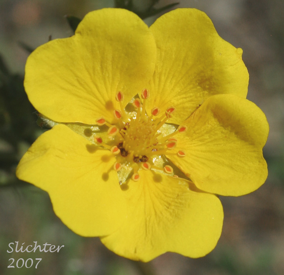
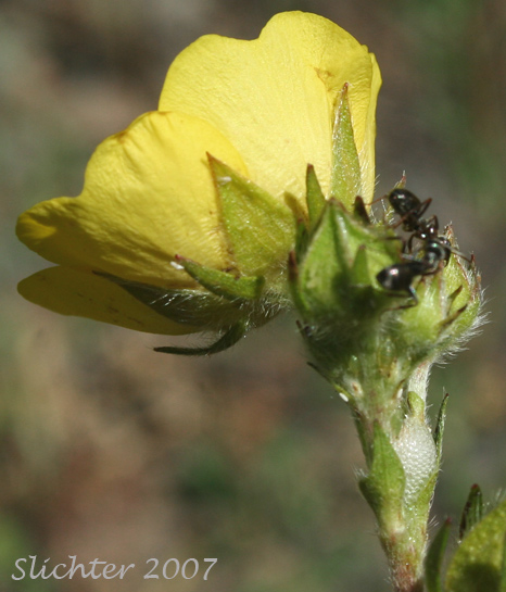
The photo above shows a close-up of the calyx of slender cinquefoil as seen along Hat Pt. Road above 6000' in the Hells Canyon National Recreation Area.......July 11, 2007.
 -
- 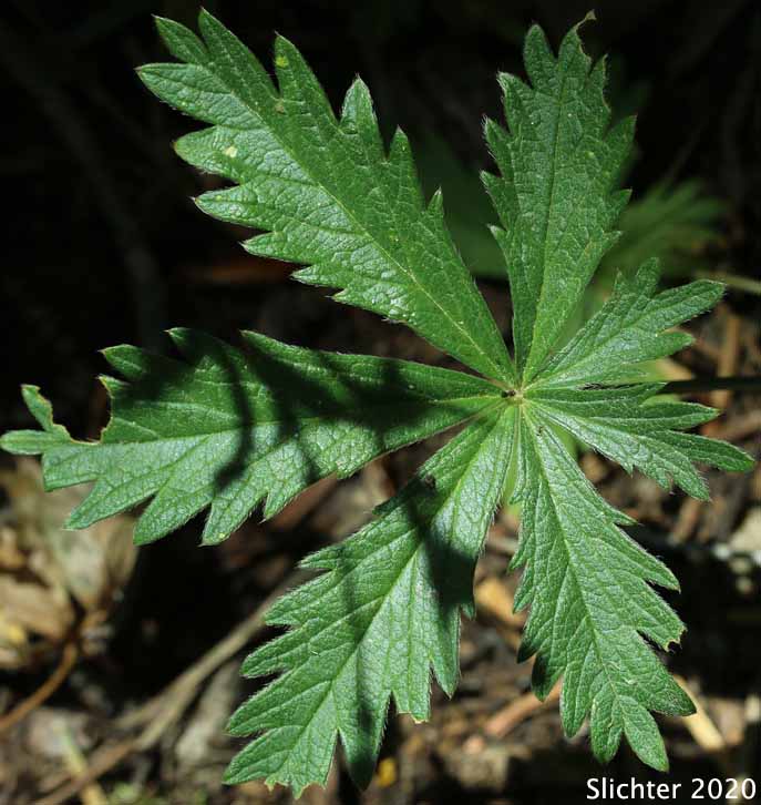
Slender cinquefoil observed in meadows along the Fremont National Recreation Trail near Hank's Spring, northwest corner of Twelvemile Peak, Fremont-Winema National Forest.......August 2, 2020. The lower leaf surface is seen at left, the upper leaf surface at right
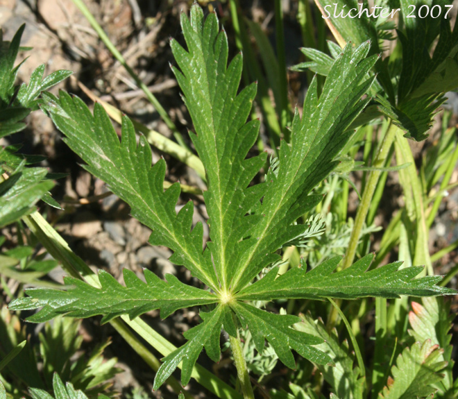
The photo above shows a close-up of the glabrous upper surface of the compound leaf of slender cinquefoil as seen along Hat Pt. Road above 6000' in the Hells Canyon National Recreation Area........July 11, 2007. Note that the teeth along the margins of the leaflets are cut up to one-half the way into the midvein.
Paul Slichter


