 -
- 
 Directions:
Note: All roads leading to this trailhead are badly eroded as of the summer of 2016. Deep potholes dot the road in many places, doubling the driving time, and making it difficult to access for low-slung cars. There is a proposed timber thinning sale in the area which will mean the road will be improved, but whether that occurs in 2017 or 2018 is unknown at this time.
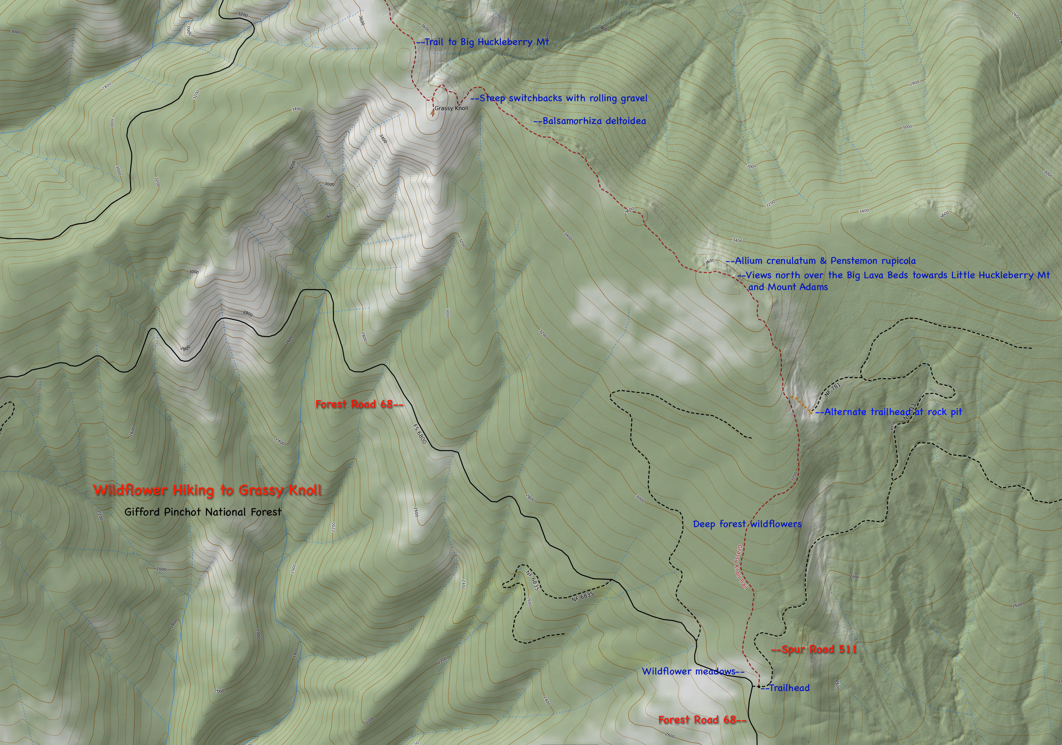
From State Road 14 at Carson, Washington, drive north through Carson on the Wind River Road. North of Carson, you will cross the Wind River via a high bridge.Within a mile north of the bridge, veer right (north) onto Bear Creek Road. At first this paved road proceeds northwest, then turns sharply and veers southeast before trending in a general northeasterly direction along Bear Creek. At the point where it crosses Bear Creek, the road changes to gravel and begins to climb more steeply as it becomes Forest Road 6808. This road is windy but has good views out towards the Columbia River and Dog Mountain in places. Where it joins FS Road 68, turn left and drive west at first, then sharply northeast before trending north for about 2 miles total where you will see a grassy meadow ahead and FS Service Rd 511 to the right. Parking is on the right. I would recommend the Northwest Forest Pass for this location.
There is a nice grassy meadow with many wildflowers to explore at the trailhead. Trail #146 originally was part of the original Pacific Crest Trail which climbed from the Columbia River to Dog Mountain and then proceeded to Augsperger Mountain before following the ridgeline to Grassy Knoll, and then proceeding north to Big Huckleberry Mt. The current Pacific Crest Trail was rerouted up the Panther Creek drainage during the early to mid 1970s.
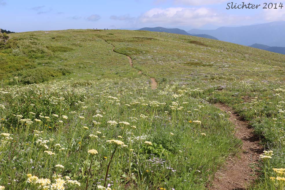
The trailhead for Trail #146 is at about 2800'. It climbs through mostly coniferous forest for about one and a half miles before arriving at some cliff top openings with stunning, sweeping views north towards Mt. Adams as seen over the Big Lava Beds. The trail follows a ridgeline for about another six-tenths of a mile through flower-filled meadows before climbing via switchbacks up the steep eastern face of Grassy Knoll with an altitude of 3648' at the summit. Remains of an old fire lookout are evident here, and the views to the south and southwest are especially nice. The flora on the grassy portions of the knoll are what you would expect at the summit of Dog Mt. and on ridge tops to the east of White Salmon, WA and Hood River, OR. Under the trees, expect to find woodland species as well as the attractive gorge endemic, kittentails (Synthyris missurica ssp. stellata).
The summit of Grasy Knoll is a great spot for a picnic lunch. If you are prepared for additional hiking, Trail #146 continues northward through grassy forest openings at first, then mostly through dark coniferous forest for another 3 miles before reaching the new alignment of the Pacific Crest Trail and slightly further north, the summit of Big Huckleberry Mt. at 4400'. The only (usually dependable) water source between Grassy Knoll and Big Huckleberry Mt. is Cold Springs (about one mile SE of the PCT).
Comprehensive Plant List for Grassy Knoll
Grassy Knoll: Northwest Wildflowers
Grassy Knoll Trailhead: OregonHikers.org
Grassy Knoll Hike: OregonHikers.org
Big Huckleberry Mountain Hike: OregonHikers.org
Grassy Knoll: Washington Trails Association