Access to Trailheads: The trailhead from Rd #23 may be found just north of Twin Falls Creek, about 0.3-0.4 miles north of MP 38. Approximate GPS coordinates are N46 13.034' --- W121 38.046'.
Low Elevation: About 3700'.
High Elevation: About 5760'.
Elevation Gain: Approximately 2000'.
Length of Trail:
Permits: The trailheads are unofficial and unsigned, but as they climb into the Mt. Adams Wilderness, I would be safe and post the Northwest Forest Pass on your dash or mirror. Register for and carry the wilderness permit as you may encounter Forest Service personnel enroute. If you plan to climb higher than 7000', obtain a Cascade Volcanoes Pass and/or register your climb route at the Mt. Adams Ranger Station in Trout Lake.
Continuing uphill on the trail you will encounter rocky areas, especially ahead. This is evidently the base of Burnt Rock. The trail veers left (north) and continues climbing, eventually encountering several shallow ponds or lakes within the forest. The trail soon encounters a muddy pond in an open meadow on the right side of the trail before crossing a small ridge and descending slightly to the meadows surrounding Riley Camp. Cross a small vernal stream (Riley Creek) to encounter the camp itself (several fire rings with logs or stumps to sit on, and several evident places where horses have been tethered overnight). The trail then turns right and climbs uphill, largely following the northern bank of Riley Creek for about one-half mile before it veers left and climbs to the Pacific Crest Trail #2000.
Once at the PCT, one may proceed right (south) about 0.2 miles to shallow Sheep Lake where there are several campsites, or continue south, ascending slowly to the crest of the ridge, then hiking another 0.2-0.3 miles, looking for a fairly well established path that ascends the east side of the trail to Crystal Lake at about 6240'. Horseshoe Meadows is about 3.6 miles south of the junction of Trails #64 & #2000.
Proceeding north on the PCT from the junction with Trail #64, one soon encounters a broad lava flow which surrounds Mutton Creek. The junction with the Divide Camp Trial #112 is about 3.4 miles north of Trail #64.
September 25, 2005: Pacific Crest Trail from Riley Trail #64 to Crystal Lake
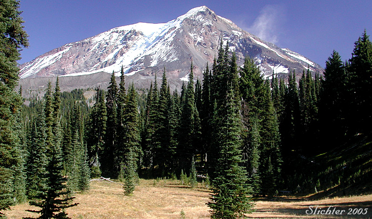
September 25, 2005: Riley Trail #64 (from Rd #23 to the Pacific Crest Trail)