Brittle-leaved Saxifrage, Clayton's Saxifrage, Fleshy-leaved Saxifrage, Northwestern Saxifrage, Peak Saxifrage, Swamp Saxifrage
Micranthes fragosa
Synonyms: Saxifraga claytoniifolia, Saxifraga fragosa, Saxifraga fragosa ssp. claytoniifolia, Saxifraga fragosa ssp. claytoniifolia, Saxifraga fragosa var. claytoniifolia, Saxifraga integrifolia var. fragosa, Saxifraga nidifica, Saxifraga nidifica var. claytoniifolia
 -
- 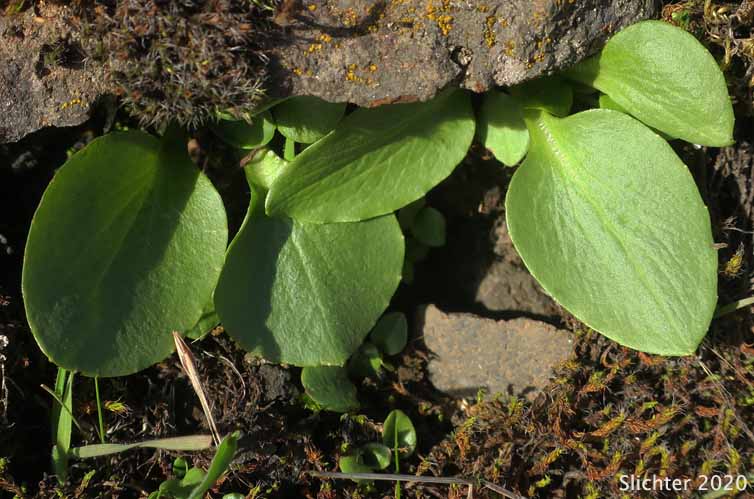
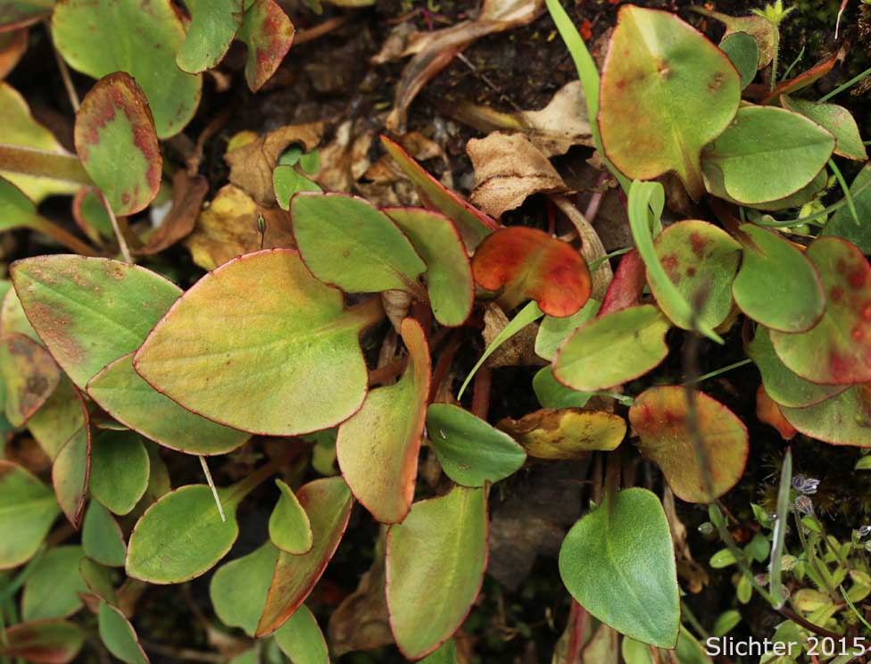
The photo at left shows a close-up of the flowers of peak saxifrage as seen in moist soils along the lower sections of The Dalles Mt. Road to the north of The Dalles, OR............March 17, 2007. The inflorescence begins very tight, but with age, some individuals can be widely branched. The photo at right shows the basal leaves of peak saxifrage as seen on moist cliffs above the Klickitat River about 2-3 miles north of Washington Highway 142 on the old haul road.
Habitat:
Northwestern saxifrage may be found on prairies, grassy slopes,
and meadows which are seasonally moist in the spring but dry in the summer.
Range:
Northwestern saxifrage may be found from British Columbia south
to California and east to central Idaho and Nevada.
In the Columbia River Gorge, it may be found between the elevations
of 100'-3400' from near Crown Point in the west to the eastern portion of the
Gorge.
 -
- 
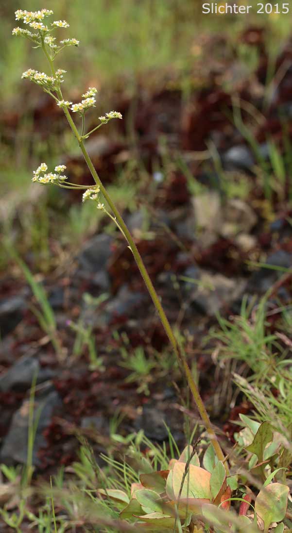
Close-up sideviews of the inflorescence and of a flower cluster of peak saxifrage as seen in moist soils along the lower sections of The Dalles Mt. Road to the north of The Dalles, OR..........March 17, 2007. The inflorescence begins very tight, but with age, some individuals can be widely branched. Note the numerous reddish, gland-tipped hairs along the stem.
 -
- 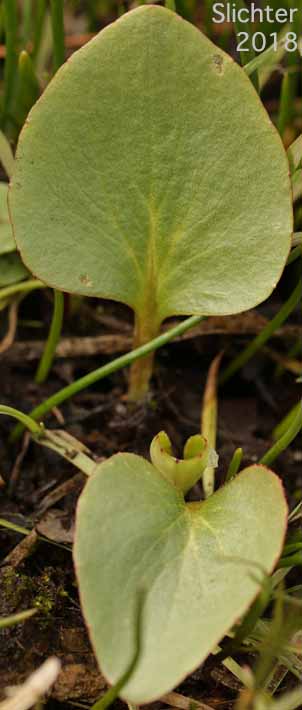
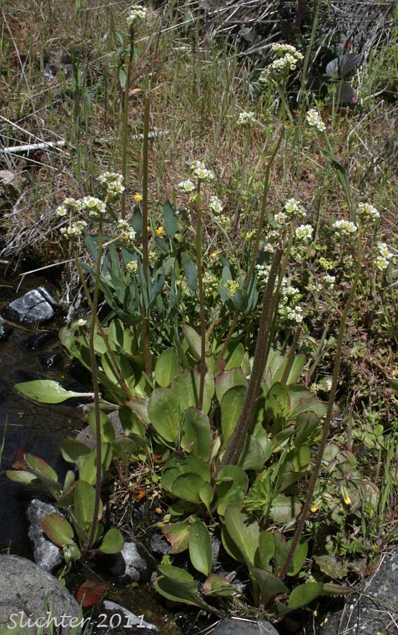
Peak saxifrage as seen at left along Eight Mile Creek between Washington Highway SR14 and The Dalles Mt. Road in the Columbia Hills State Park.........May 7, 2011. The photo at right shows the distinctive spade-shaped basal leaves (with the base of the blade abruptly tapered in to the petiole) of brittle-leaved saxifrage as seen at Catherine Creek, Columbia River Gorge.......February 27, 2018.
 -
- 
The photo at left shows a close-up of a leaf of peak saxifrage as seen in moist soils along the lower sections of The Dalles Mt. Road to the north of The Dalles, OR..........March 17, 2007. The photo at right shows the basal leaves of peak saxifrage as seen along the Haul Road on the west bank of the Klickitat River about two miles upstream from the Twin Bridges crossing of the Klickitat River on Highway 142.........November 12, 2016.
 -
-  -
-  -
- 
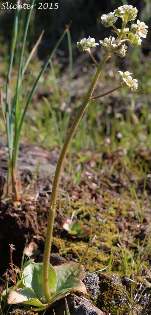
Peak saxifrage as seen in a vernally moist swale on the south side of Marsh Hill east of Mosier, Oregon.........March 27, 2015.

 -
- 
Peak saxifrage as seen beginning to bloom in a vernally moist swale about 200 meters uphill from the Crawford Oaks trailhead at Columbia Hills State Park.........March 3, 2015.
 -
-  -
- 
Peak saxifrage as seen on open slopes beneath powerlines along the Starvation Creek Ridge Trail #414, Columbia River Gorge.........April 26, 2015.
 -
- 
Basal leaves of peak saxifrage (left) as seen from the Columbia Hills Natural Area Preserve.............January 19, 2015. The photo at right possibly shows peak saxifrage as seen along the Wygant Trail just east of Perham Creek, Wygant State Natural Area..........March 29, 2015.
 -
-  -
- 
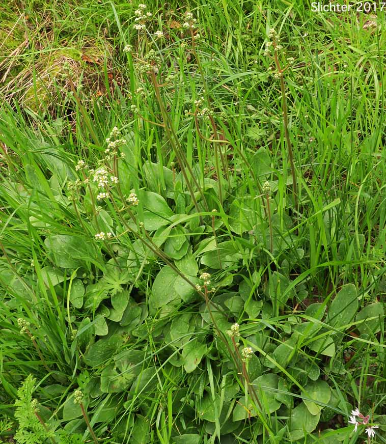
Peak saxifrage as seen in vernally moist grassy areas at the Carson Camas Patch, Carson, WA.........April 29, 2017.
 -
- 
Peak saxifrage blooming on open, vernally moist slopes east of Eightmile Creek and above the Crawford Oaks Trailhead, Columbia Hills State Park.........February 23, 2016.
Paul Slichter