Wildflowers of the Fremont National Recreation Trail #160
from the South Fork Crooked Creek Trailhead to the north ridge of Twelvemile Peak
Fremont-Winema National Forest
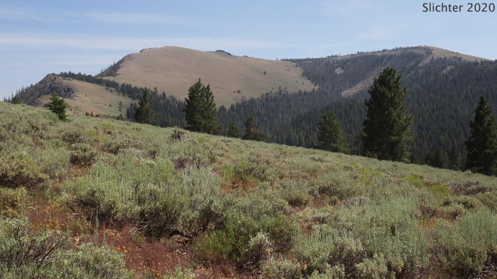
A view southeast from the Fremont National Recreation Trail #160 towards Light Peak from the southwestern slopes of Twelvemile Peak. The Drake Peak is at the western extension of Light Peak at right. Drake Peak is out of the photo at left. Fremont-Winema National Forest.....August 2, 2020.
Overview:
The eastern section of the Fremont National Recreation Trail #160 begins at Mill Creek Trailhead off US Highway 395 and climbs along Crooked Creek to the South Fork Crooked Creek Trailhead alongside FS Road 3615. From here, the trail continue climbing uphill to the east before climbing north along the western slopes of Twelvemile, McDowell and Crook Peaks before descending to the Swale Trailhead on FS Rd 3720. This latter section of the trail is rarely hiked and passes through very scenic and floriferous high country.
The South Fork Crooked Creek Trailhead is a broad gravel parking area with adequate room for numerous vehicles and provides enough for even large vehicles towing horse trailers to turn around. A vault toilet is situated in the trees at the north side of the trailhead, but there are no other amenities. There is no water here, or along the route of the Fremont National Recreation Trail as it heads north, except occasionally in late spring or early summer at Hank's Spring on the north side of Twelvemile Peak. There is also water in South Fork Crooked Creek immediately adjacent to the south of the trailhead, but this must be filtered. Be aware that any water source in this area is in cattle rangeland, so it's recommende that one brings water from home or nearby Mud Creek Campground several miles south. I've noted several vehicles with people camping overnight in them before heading out early in the morning at this trailhead.
The Fremont National Recreation Trail #160 to the north of this trailhead is maintained early in the season. But because the trail is lightly used by hikers and equestrians, it often is faint, and by late in season, bittercherry and other shrubs may grow into the trail and make navigating through the 3-4' high shrubbery a little more difficult. We found the greatest difficulty with navigation to be the portion of the trail just northeast of Crook Peak as it descends to the Swale Trailhead. Watch for the National Recreation Trail emblems or white tags or blazes on trees ahead.The final 200 yards to the Swale Trailhead on FS Rd 3720 passes through a wet meadow where the tread is especially difficult to follow after crossing a small stream. The year we hiked that stretch, trail crews had hung flagging to indicate the direction of the path.
Plants to Expect to See Along This Hike:
Along the Trail:
On Balds on the North Side of Twelvemile Peak:
Access:
Drive north of Lakeview, OR about 5 miles on US Highway 395. Turn right (east) onto Oregon Highway 140 for about 8 miles to the only major 4-way junction east of the Warner Summit. Turn left onto paved Forest Rd 3615 and drive north uphill for about 6.8 miles, passing Bull Prairie, Mud Creek Forest Camp, Aspen Cabin and the turnoff for Drake Peak Lookout. You'll reach the South Fork Crooked Creek Ttrailhead on the right side of the road at about 10 miles north of OR 140. This is about a 45 minute drive from Lakeview. The trailhead has a vault toilet but no potable water. It provides access to the Fremont National Recreation Trail #160 as it descends Crooked Creek towards the Mill Creek Trailhead off US 395 (about 7.5 miles). One can also access the Crane Mountain Trail #161 which heads west then south around Bull Prairie to the Walker Trailhead on FS Rd 3615. To hike either trail, cross FS Rd 3615 and look for signage indicating where to proceed. Be aware that downed trees may make route finding difficult early in season, so contact the Lakeview Ranger District office in Lakeview, OR for current trail conditions.
Plant Lists:
More Comprehensive Plant List for Twelvemile Peak
July 16, 2022: Fremont National Recreation Trail #160, South Fork Crooked Creek Trailhead to the saddle between Twelvemile and McDowell Peaks (Lakeview Ranger District, Fremont-Winema National Forest)
August 2, 2020: Fremont National Recreation Trail #160, South Fork Crooked Creek Trailhead to the saddle between Twelvemile and McDowell Peaks (Lakeview Ranger District, Fremont-Winema National Forest)
Resources:
South Fork Crooked Creek Trailhead (USFS)
Fremont National Recreation Trail #160, Southern Segment (Mill Trailhead to Vee Lake)

 -
- 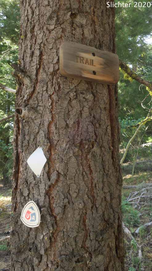
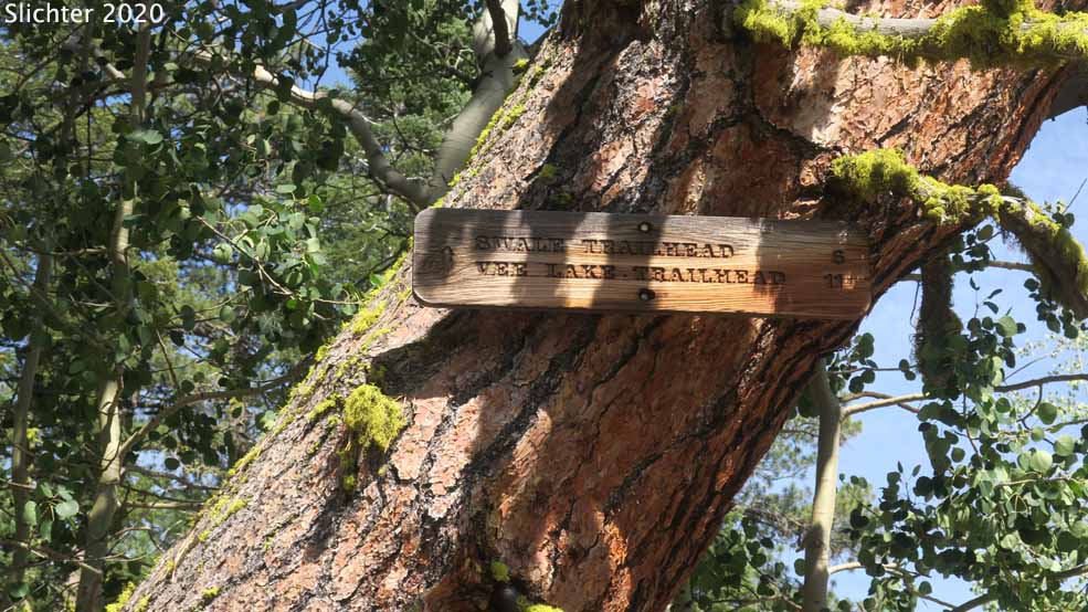
The uppermost photo shows a panorama viewed north of the South Fork Crooked Creek Trailhead. The vault toilet is behind the vehicle at left. The Fremont National Recreation Trail #160 headed to north towards Twelvemile Peak is along the jeep road at right. The Fremont National Recreation Trail #160 headed downhill to the west along Crooked Creek would be behind me. The photo at lower left shows the signage indicating the Fremont National Recreation Trail #160 headed north to Vee Lake. The sign is in deep shade in the morning and we missed it, not being sure if we were actually on the trail or not. You can see the tree at upper right in the uppermost photo. The photo at lower right shows a tree with a sign indicating where the Fremont National Recreation Trail #160 veers off the jeep trail about 2 hundred yards uphill to the east of the trailhead. Also look for the white tags and National Recreation Trail emblems. Fremont-Winema National Forest.....August 2, 2020.
 -
- 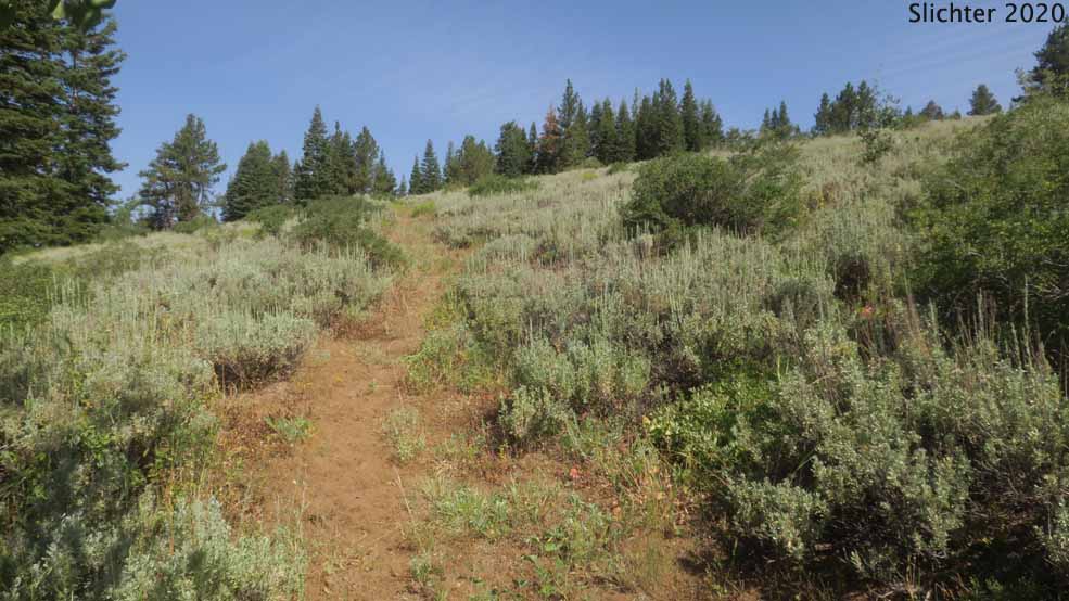
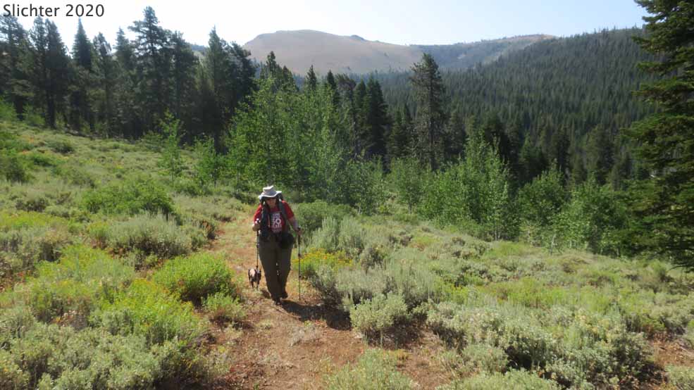
The photo at left shows the first mile of the Fremont National Recreation Trail #160 as it climbs the southwestern slope of Twelvemile Peak with Light Peak behind. Fremont-Winema National Forest.....August 2, 2020. The photo at right shows first mile (looking uphill to the north) of the Fremont National Recreation Trail #160 as it climbs the southwestern slope of Twelvemile Peak with Light Peak behind. Fremont-Winema National Forest.....August 2, 2020.
 -
- 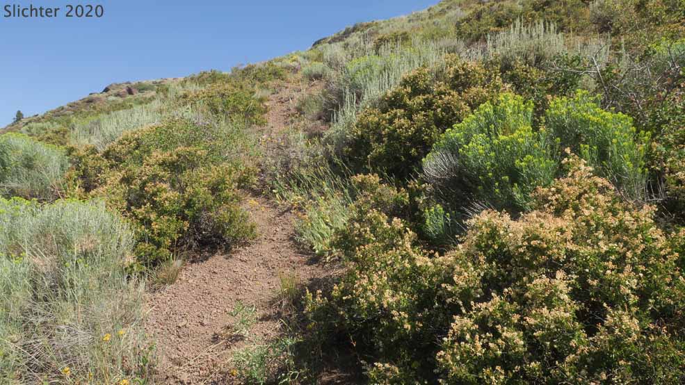
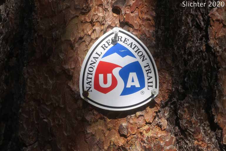
The photo at left shows a National Recreation Trail emblem which is displayed on larger trees to help guide the hiker along the Fremont National Recreation Trail #160 when the route becomes faint or even disappears briefly. Twelvemile Peak, Fremont-Winema National Forest.....August 2, 2020. The photo at right shows the Fremont National Recreation Trail #160 viewed uphill to the north as it passes through rock spiraea and gray rabbitbrush slopes on the west side of Twelvemile Peak, Fremont-Winema National Forest.....August 2, 2020. Without very much foot traffic during the hiking season, the trail sometimes gets hard to follow.
 -
- 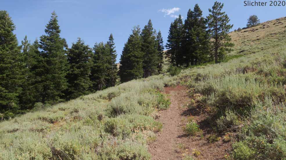
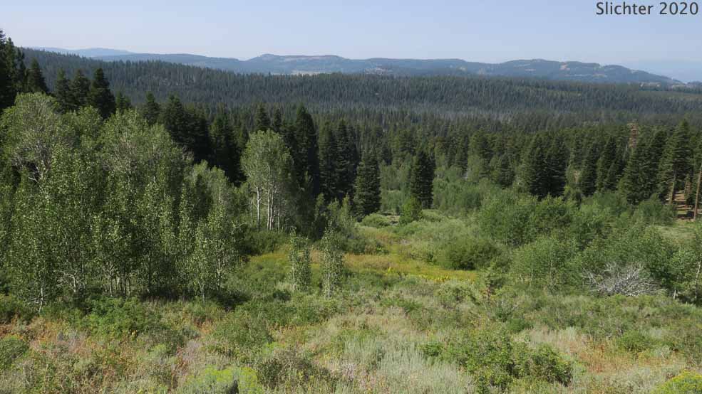
The photo at left shows a view down a drainage with springs below the Fremont National Recreation Trail #160 on the western slopes of Twelvemile Peak. The ridgeline on the horizon is located just west of Bull Prairie and Mud Creek CG. The photo at right shows the Fremont National Recreation Trail #160 viewed north as it climbs to above the forest on the west slopes of Twelvemile Peak, Fremont-Winema National Forest....August 2, 2020.
 -
- 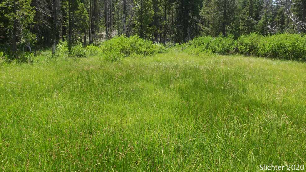
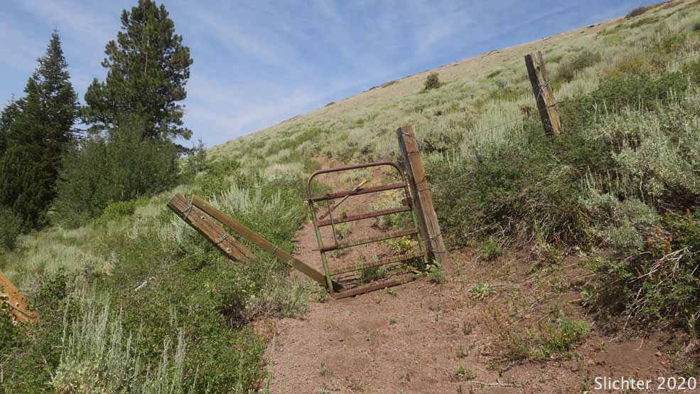
The photo at left shows a broken gate on a cattle drift fence line high on the western slopes of Twelvemile Peak. At this point, the Fremont National Recreation Trail #160 is within about half of a mile south of Hank's Spring. The photo at right shows sedge and rush meadows at Hank's Spring on the northwest corner of Twelvemile Peak. There's a small basin for backpackers to collect water from here, but we noted it was mostly dry and probably not of the best quality by mid-summer. Fremont-Winema National Forest.....August 2, 2020.
 -
- 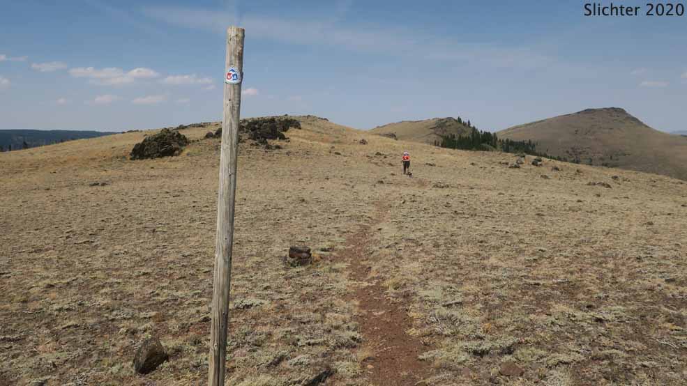
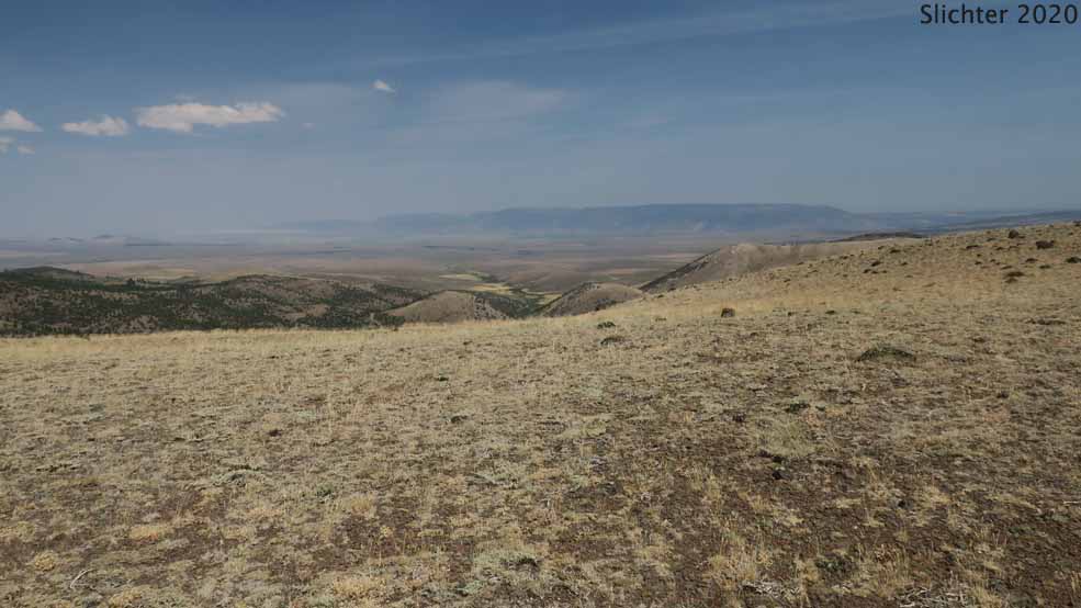
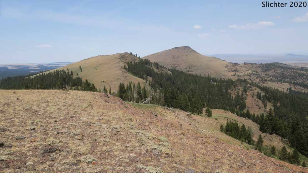
The photo at left shows windswept balds on the northern ridgeline of Twelvemile Peak. Hart Mt. is seen in the distance. The photo at right shows the windswept balds on the northern ridgeline of Twelvemile Peak viewed north with the faint tread of the Fremont National Recreation Trail #160 visible in the foreground. McDowell Peak is in the middle distance at right while Crook Peak is behind it at right. Fremont-Winema National Forest.....August 2, 2020. The flowers on the balds here would be in bloom in early June into early July most years.
 -
- 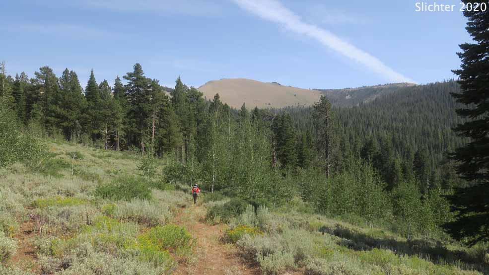
The photo at left shows McDowell Peak with Crook Peak behind looking north from the balds on the northern ridgeline of Twelvemile Peak. The Fremont National Recreation Trail #160 dips into a saddle with coniferous forest and then climbs just above the tree line across the west face of McDowell Peak. The trail then switchbacks down into another saddle hidden under forest before it crosses the south-facing slope of Crook Peak and descends north to Swale Trailhead along the eastern face of the latter peak. The photo at right shows a late afternoon view south towards Light Peak from the southwestern corner of Twelvmile Peak, about a mile northeast of the South Fork Crooked Creek trailhead, Fremont-Winema National Forest.....August 2, 2020.
Paul Slichter
